Charfia fisheries
Traditional fixed fishing structures organise parts of the shallow sea.
Plan the least frequent boat, ferry or exposed coastal section first. Use early or late light and keep a weather alternative during Mar-Jun, Sep-Nov.
Low islands, tidal shallows and traditional fishing structures create a subtle maritime landscape off Tunisia’s eastern coast.
Traditional fixed fishing structures organise parts of the shallow sea.
Plan the least frequent boat, ferry or exposed coastal section first. Use early or late light and keep a weather alternative during Mar-Jun, Sep-Nov.
The details that make Kerkennah Islands different.
Traditional fixed fishing structures organise parts of the shallow sea.
Sparse settlement and palms emphasise the islands’ low relief.
Mudflats and changing water levels create a landscape of subtle movement.
Low islands, tidal shallows and traditional fishing structures create a subtle maritime landscape off Tunisia’s eastern coast. The view is only the surface of a longer story of formation, use and change.
Kerkennah Islands occupies a low island group in the Gulf of Gabes. Low islands, tidal shallows and traditional fishing structures create a subtle maritime landscape off Tunisia’s eastern coast. Kerkennah forms part of the wider Gulf of Gabes, an ecologically productive shallow sea with strong connections to Sfax and southern Tunisia.
The familiar invitation at Kerkennah Islands is “Charfia fisheries”, yet that image makes more sense when it is connected to the landform, the local economy and the changes that determined access. Traditional fixed fishing structures organise parts of the shallow sea.
Continue to practical planningAt Kerkennah Islands, the form of the landscape explains many of the choices that came later. The land rises only slightly above sea level, so salt water, lagoons, palms and long horizons dominate every view.
Because land is limited, every ridge, bay and passage acquires practical importance. At Kerkennah Islands, “Charfia fisheries” is where that compressed geography becomes easiest to read. Traditional fixed fishing structures organise parts of the shallow sea.
At Kerkennah Islands, human history is written into settlement and land use rather than separated from the scenery. Fishing remains closely tied to the charfia system of palm-frond barriers, while villages and small farms occupy the narrow dry ground.
The role of “Palm-lined roads” is especially revealing at Kerkennah Islands. Sparse settlement and palms emphasise the islands’ low relief. In the history of Kerkennah Islands, it connects the wider regional context with a specific place that can still be examined today.
The modern identity of Kerkennah Islands emerged as livelihoods, transport and outside attention changed their balance. At Kerkennah Islands, the present destination was assembled from places that previously served practical, seasonal or community purposes. At Kerkennah Islands, the result is not a clean break with the past because earlier routes and habits continue to organise the present landscape.
Start with the feature “Charfia fisheries”, because it condenses a much larger part of the story of Kerkennah Islands. Traditional fixed fishing structures organise parts of the shallow sea. Within Kerkennah Islands, the feature explains why this destination differs from nearby landscapes.
At Kerkennah Islands, the feature “Palm-lined roads” is best understood as part of the surrounding system rather than an isolated stop. Sparse settlement and palms emphasise the islands’ low relief. Within Kerkennah Islands, the feature explains why this destination differs from nearby landscapes.
At Kerkennah Islands, the feature “Tidal coast” provides a precise clue to how the landscape works. Mudflats and changing water levels create a landscape of subtle movement. Its position and condition at Kerkennah Islands connect physical history with the way people use the place now.
At Kerkennah Islands, season is part of the landscape history, not merely a planning detail. Spring and autumn are mild; summer is hot and busy, while winter weather can make exposed crossings less comfortable.
For Kerkennah Islands, the main seasonal constraint is: the strongest planning window is Mar-Jun, Sep-Nov. For Kerkennah Islands, outside it, check weather, daylight, road or ferry schedules and seasonal closures before committing to a fixed route.
For Kerkennah Islands, one practical detail matters: ferries, tunnels and weather can change the order of the day. For Kerkennah Islands, build the route around the least frequent connection, not the closest viewpoint.
Placed within its wider geography, Kerkennah Islands is not an isolated exception. For Kerkennah Islands, the wider context shows that, kerkennah forms part of the wider Gulf of Gabes, an ecologically productive shallow sea with strong connections to Sfax and southern Tunisia.
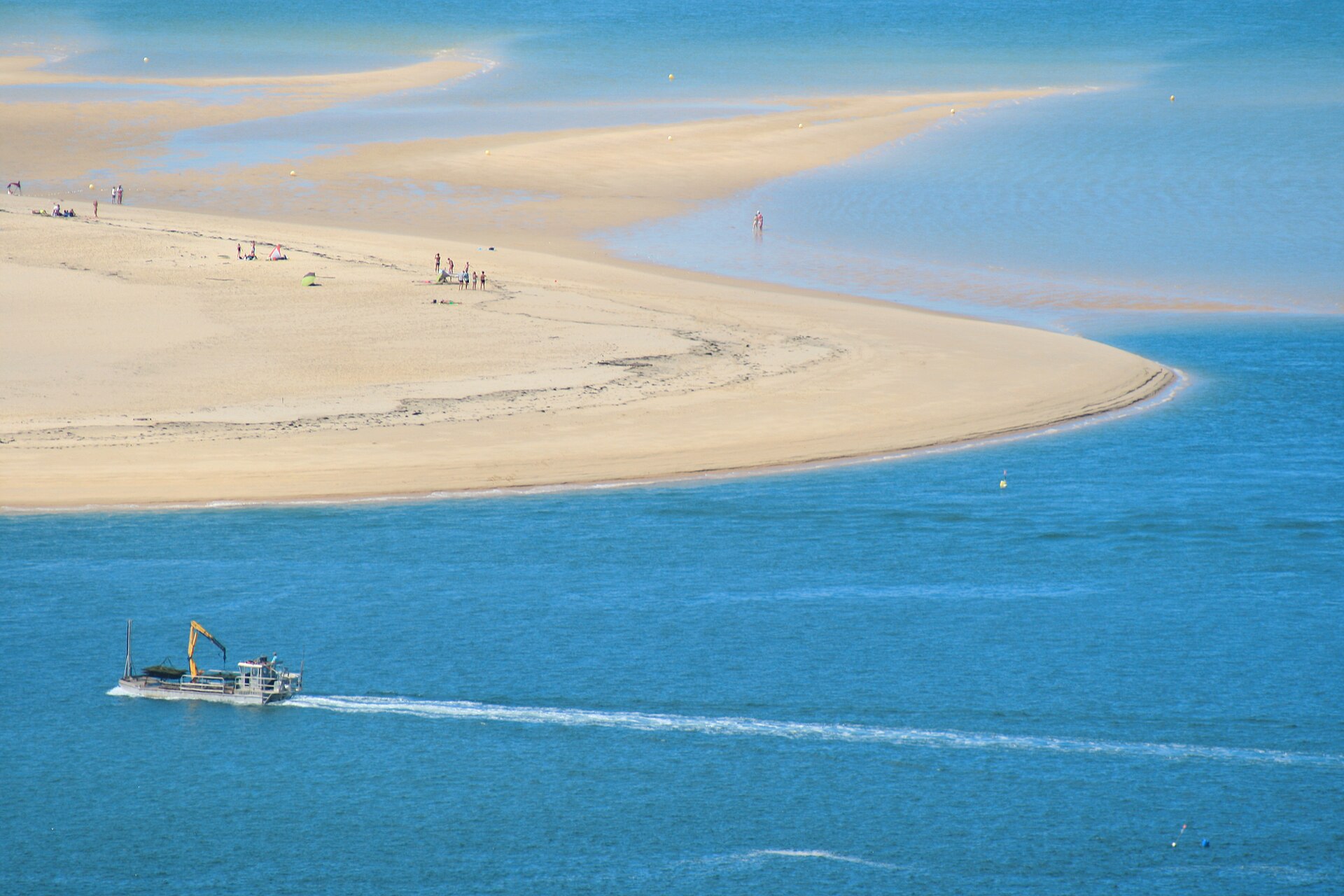
Desert dunes, tidal flats and rich coastal water meet along one of West Africa’s most important migratory bird landscapes.
Explore this place
Two long, low coral islands support coconut groves, a small community and bright lagoon water far north of Mauritius.
Explore this place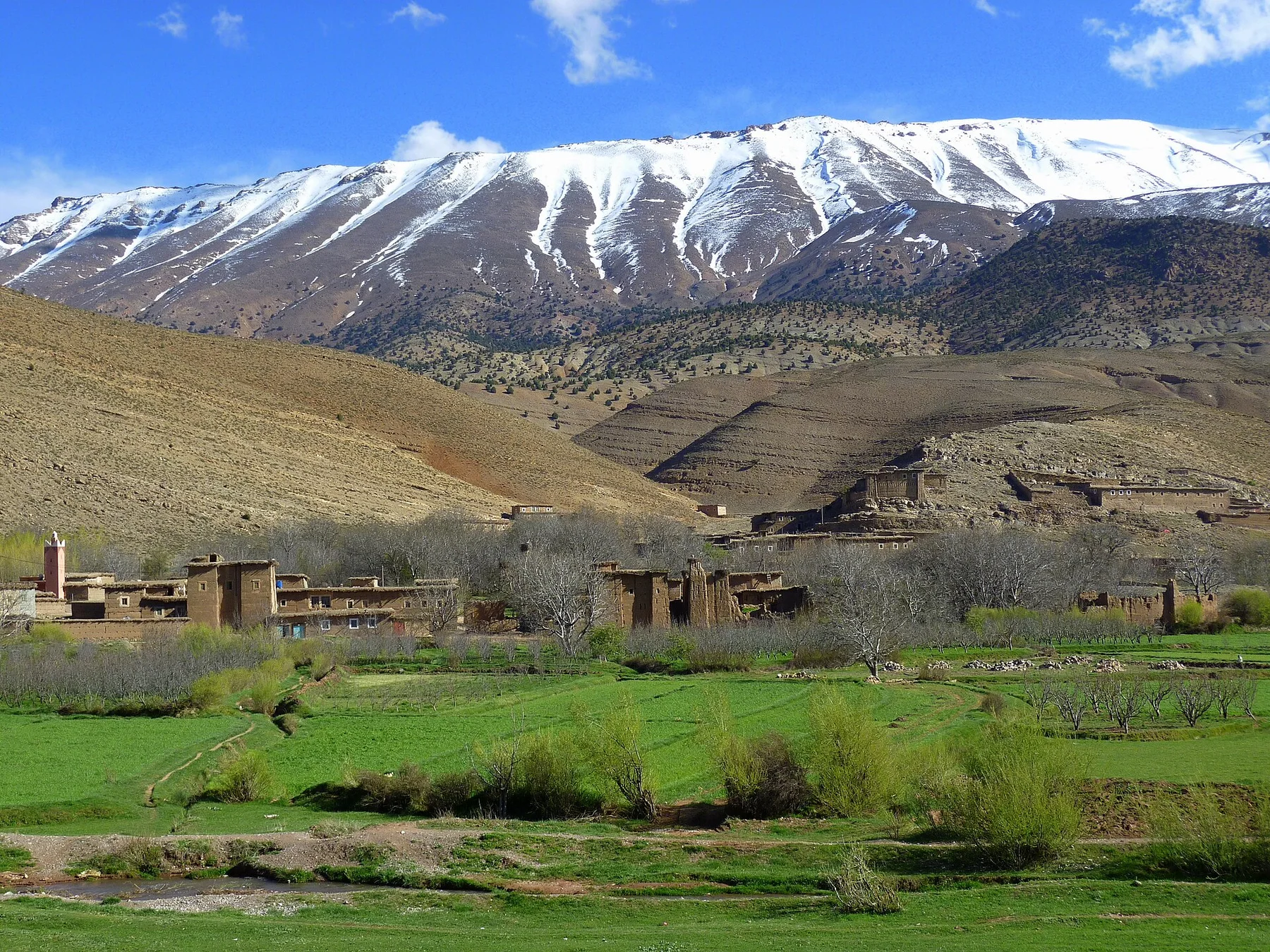
Irrigated fields, earthen villages and high mountain ridges form a broad inhabited valley in Morocco's central High Atlas.
Explore this place