Two long, low coral islands support coconut groves, a small community and bright lagoon water far north of Mauritius. This account follows the forces, communities and decisions that made the present landscape.
4 min readWestern Indian Ocean, Mauritius
Agalega Islands is centred on Western Indian Ocean, where two long, low coral islands support coconut groves, a small community and bright lagoon water far north of Mauritius. The strongest reason to make the journey is to travel the coconut-lined road between settlement and empty lagoon.
Visitors often encounter Agalega Islands through the idea of “Travel the coconut-lined road between settlement and empty lagoon”, but the destination is more than that single scene. Its landscape carries evidence of work, movement, adaptation and environmental change. Access is limited and must be arranged, but the islands offer an unusual view of working plantation history and extreme geographic isolation.
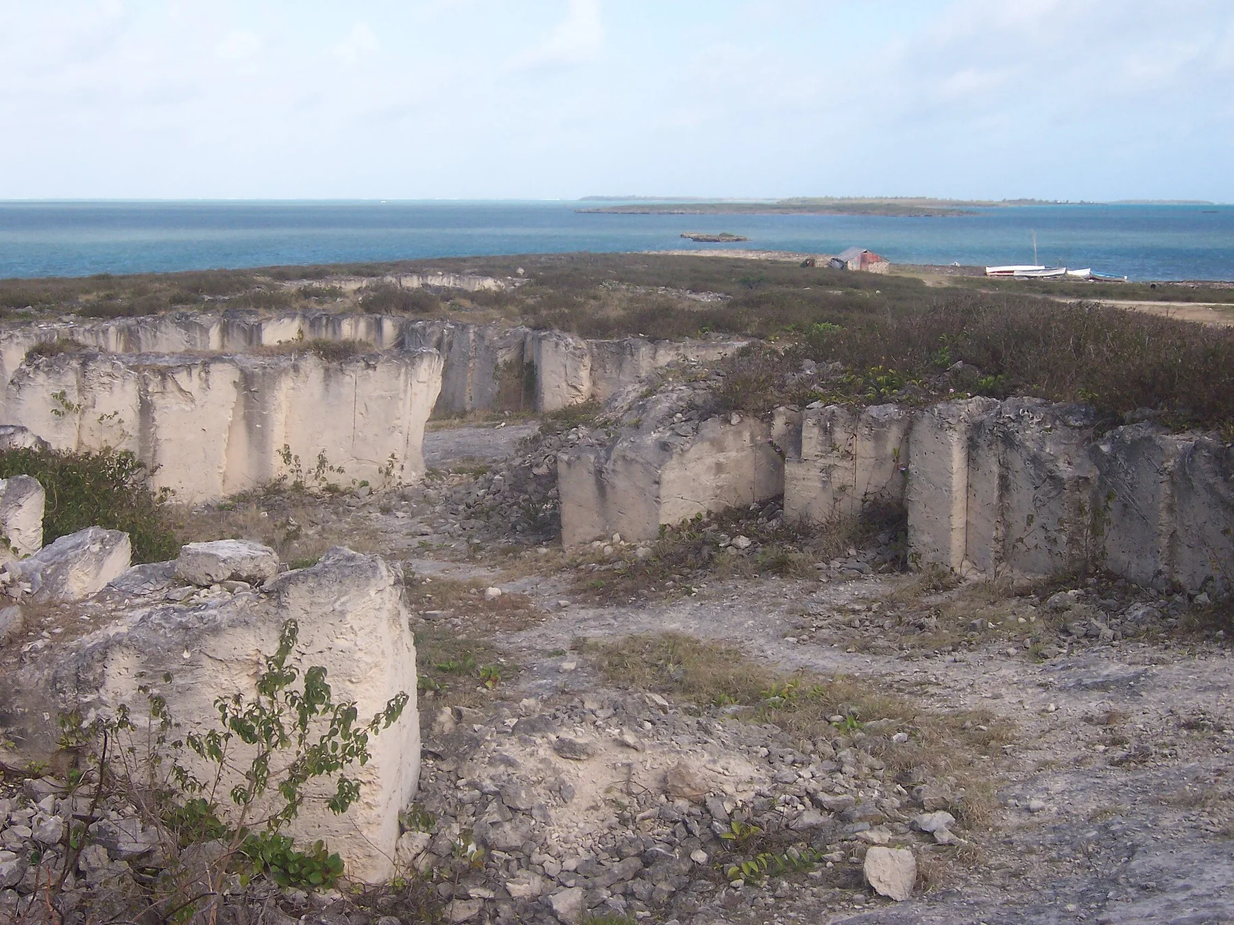
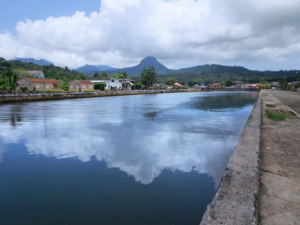
On an island, coast, altitude and exposure work together. At Agalega Islands, the feature described as “North Island settlement” shows how a short distance can separate sheltered ground from a very different ocean-facing environment. Most residents and services are concentrated here.
Agalega Islands is not a uniform area. Changes in elevation, exposure, water and substrate produce distinct environments over short distances, which is why a route through the place often reveals more than a fixed viewpoint.
02
Lives and livelihoods
How people learned to live here
Agalega's two low islands were used by sailors before permanent settlement developed around coconut plantations in the nineteenth century. Enslaved labour and, after abolition, tightly controlled plantation workers produced copra for export, leaving a settlement pattern organised around company land, coastal loading points and a small number of villages.
The islands remained a dependency of Mauritius and never acquired the transport links or diversified economy of the main island. Creole speech, Catholic traditions, fishing and coconut work became the core of local life, while distance made ships, airstrips and reliable communications decisive parts of everyday history.
03
Turning point
How access and attention changed the place
Modern runway and harbour projects have brought strategic attention to a place long treated mainly as a plantation dependency. For visitors, the important historical reading is the contrast between wide coconut groves, limited communal infrastructure and a community whose mobility has always depended on decisions made far away.
04
On the ground
Landmarks that carry the deeper story
At Agalega Islands, the feature “North Island settlement” is best understood as part of the surrounding system rather than an isolated stop. Most residents and services are concentrated here. Within Agalega Islands, it is both an attraction and a record of the processes described above.
Look closely at the feature “Coconut landscape” in Agalega Islands; it carries information that a panoramic view can miss. Long palm corridors record the islands' economic history. Within Agalega Islands, the feature explains why this destination differs from nearby landscapes.
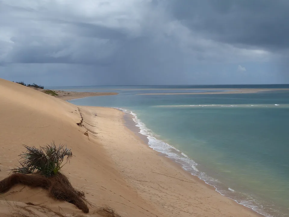
At Agalega Islands, the feature “Remote lagoon” is best understood as part of the surrounding system rather than an isolated stop. Clear shallow water surrounds an exceptionally isolated community. At Agalega Islands, the detail links local scale with the wider regional pattern.
05
Season and scale
A living landscape, not a frozen scene
At Agalega Islands, light, water and temperature reveal different structures at different times of year. For Agalega Islands, the most reliable visiting window is Jun-Oct.
For Agalega Islands, the stated visiting window is Jun-Oct, but its practical meaning depends on local weather, water and transport rather than the calendar alone.
Placed within its wider geography, Agalega Islands is not an isolated exception. Beyond the best-known image of Agalega Islands feature, Agalega Islands matters because coconut landscape and remote lagoon place the destination inside a broader regional story.
Chronology
Key dates
Plantation settlement
Coconut estates established permanent communities and tied the islands to the copra trade.
Labour system changes
Formerly enslaved and contracted workers remained central to an economy still dominated by plantation ownership.
New strategic infrastructure
Airfield and maritime development renewed external interest in the remote dependency.
Travel notes
Plan your visit
Time needed
3-5 days
Getting around
Local transport, walking and boat or ferry connections
Effort
Easy to moderate
Plan first
Main flight or ferry, accommodation and weather backup
Time of day
Morning movement; late light for coast
Best window
Jun-Oct
Traveller stories
Stories from people who have been here.
First-hand moments, practical notes and overlooked details from Agalega Islands.