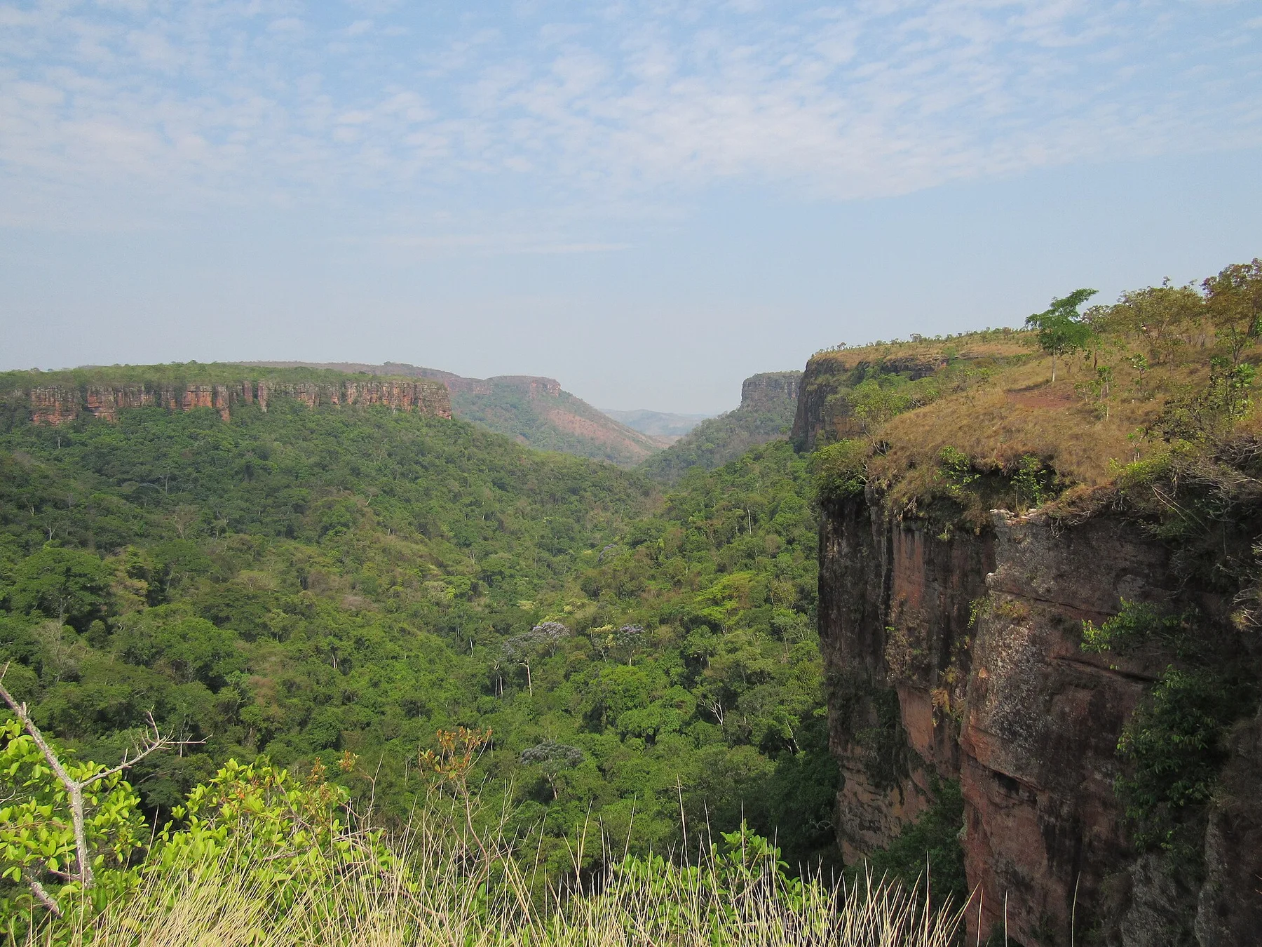
Swim below a waterfall reached by a long cerrado track
The slower approach filters crowds and makes the final clear-water pool feel earned rather than roadside.
Begin before heat and hard overhead light; save the widest overlook for late afternoon if access and trail time allow.
Look a little closer
Worth discovering
The details that make Chapada dos Veadeiros North different.
Destination view
01
Macaquinhos waterfalls
A chain of cascades and pools descends through rocky cerrado.
Destination view
02
Kalunga territory
Community-led visits connect landscape with Afro-Brazilian history.
Destination view
03
Quartzite plateau
Ancient rock creates ridges, canyons and clear streams.
Photo journal
A closer look at Chapada dos Veadeiros North
8 photographs
01Cachoeira São Bartolomeu - Vale das Araras02Chapada dos Veadeiros North — view 203Vista parcial do Cânion da Cachoeira Veredas04Cachoeira São Bartolomeu - Vale das Araras05Vista da entrada do Cânion da Cachoeira Veredas06Cachoeira Veredas07Cânion da Cachoeira Veredas08Cachoeira Veredão
Deep background
How Chapada dos Veadeiros North became the place it is
Remote northern valleys extend the quartzite plateau beyond the busiest gateways of Chapada dos Veadeiros. The view is only the surface of a longer story of formation, use and change.
4 min readNorthern Goias, Brazil
Chapada dos Veadeiros North is centred on Northern Goias, where remote northern valleys extend the quartzite plateau beyond the busiest gateways of Chapada dos Veadeiros. The strongest reason to make the journey is to swim below a waterfall reached by a long cerrado track.
Visitors often encounter Chapada dos Veadeiros North through the idea of “Swim below a waterfall reached by a long cerrado track”, but the destination is more than that single scene. Its landscape carries evidence of work, movement, adaptation and environmental change. The slower approach filters crowds and makes the final clear-water pool feel earned rather than roadside.
Understanding Chapada dos Veadeiros North starts below the visible surface. Erosion exposes rock, cliffs and drainage patterns that are easiest to understand from both the rim and the lower route. Heat and shade can differ sharply within a short distance.
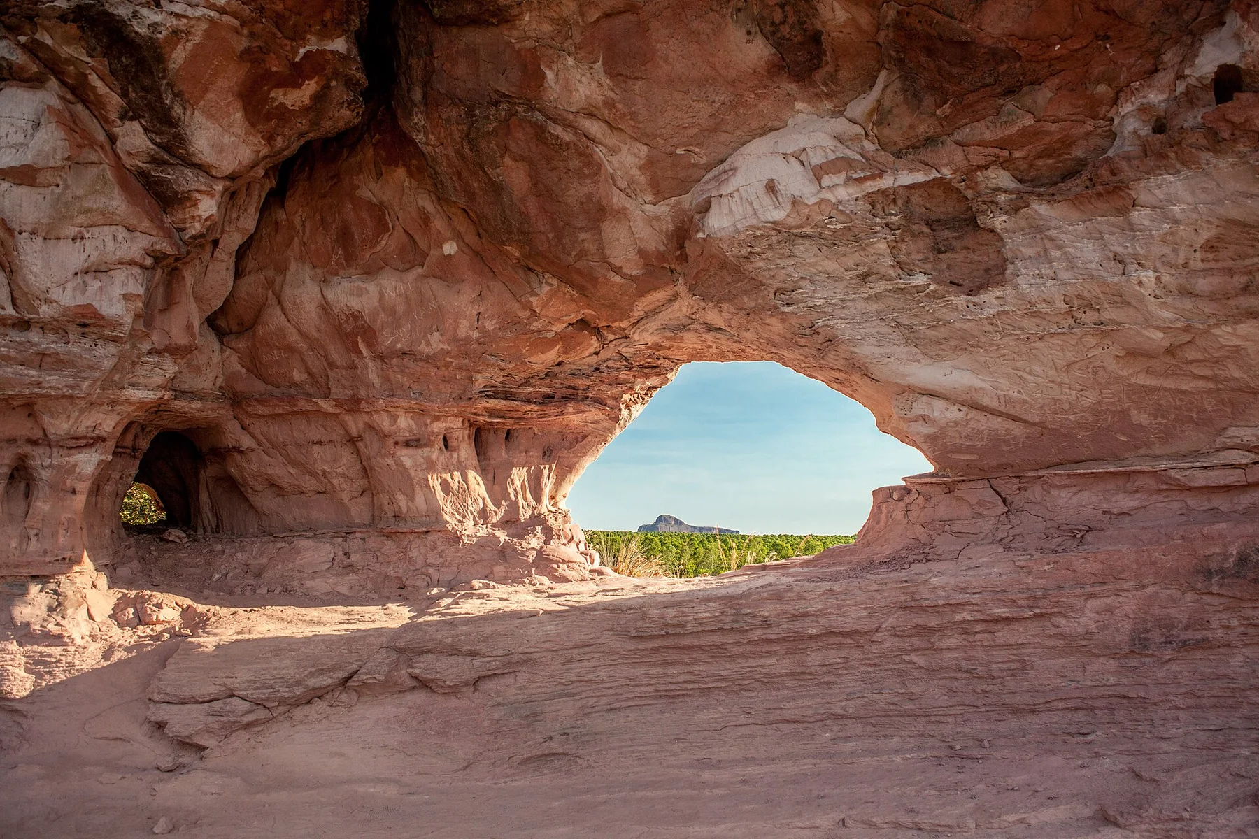
Colour and form at Chapada dos Veadeiros North are the result of long physical processes. “Macaquinhos waterfalls” helps distinguish the underlying structure from the surface image seen in photographs. A chain of cascades and pools descends through rocky cerrado.
02
Settlement and memory
People, work and memory
Northern Chapada dos Veadeiros contains routes of miners, cattle drovers and Kalunga quilombola communities established by descendants of people who escaped slavery. Crystal and gold extraction brought periodic booms without creating dense permanent settlement.
The national park was founded in 1961 with a far larger boundary than it retains today. Repeated reductions exposed important cerrado areas, while World Heritage listing in 2001 increased pressure for restoration and expansion.
03
Change
The transition visible today
Recent boundary enlargement and growth of community tourism strengthened protection, but fire, agribusiness and land speculation remain decisive. Kalunga territories are central ecological buffers, not peripheral cultural add-ons.
04
Visible evidence
Three details that explain the whole place
Look closely at the feature “Macaquinhos waterfalls” in Chapada dos Veadeiros North; it carries information that a panoramic view can miss. A chain of cascades and pools descends through rocky cerrado. Within Chapada dos Veadeiros North, it is both an attraction and a record of the processes described above.
At Chapada dos Veadeiros North, the feature “Kalunga territory” provides a precise clue to how the landscape works. Community-led visits connect landscape with Afro-Brazilian history. Within Chapada dos Veadeiros North, it is both an attraction and a record of the processes described above.
At Chapada dos Veadeiros North, the feature “Quartzite plateau” is one of the most useful pieces of visible evidence. Ancient rock creates ridges, canyons and clear streams. Within Chapada dos Veadeiros North, the feature explains why this destination differs from nearby landscapes.
05
Living landscape
The place within its wider region
A single visit to Chapada dos Veadeiros North captures only one phase of its annual cycle. For Chapada dos Veadeiros North, the most reliable visiting window is May-Sep.
For Chapada dos Veadeiros North, the stated visiting window is May-Sep, but its practical meaning depends on local weather, water and transport rather than the calendar alone.
Placed within its wider geography, Chapada dos Veadeiros North is not an isolated exception. Beyond the best-known image of Chapada dos Veadeiros North feature, Chapada dos Veadeiros North matters because kalunga territory and quartzite plateau place the destination inside a broader regional story.
Chronology
Key dates
Mining routes and quilombola settlement
Extraction and refuge communities shaped the remote plateau.
National park created
A vast initial protected area was later repeatedly reduced.
World Heritage and renewed expansion
International recognition supported efforts to reconnect northern cerrado habitats.
Travel notes
Plan your visit
Time needed
2-3 days
Getting around
Road access and hiking
Effort
Moderate
Plan first
Heat, trail exposure and permits if required
Time of day
Sunrise or late afternoon
Best window
May-Sep
Traveller stories
Stories from people who have been here.
First-hand moments, practical notes and overlooked details from Chapada dos Veadeiros North.