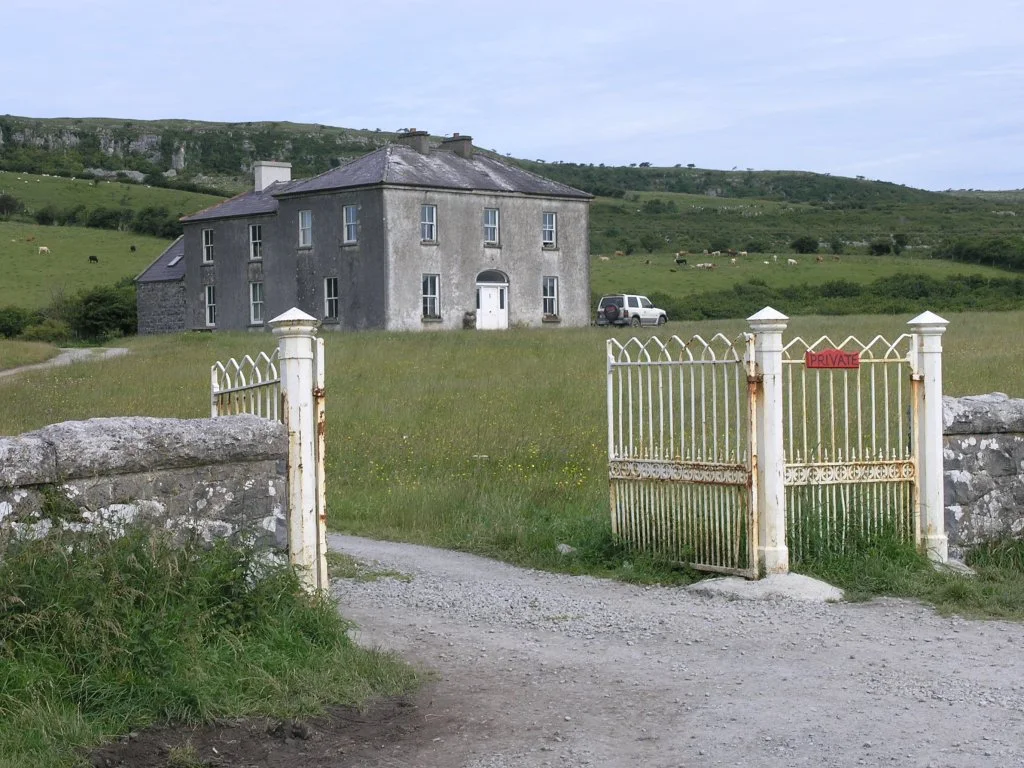
Walk to the western cliffs after the last day ferry leaves
Evening quiet, Atlantic swell and the cliff edge give the island a stronger sense of separation than a short daytime visit.
Plan the least frequent boat or flight first, then use the remaining time for the signature route rather than trying to collect every viewpoint.
Look a little closer
Worth discovering
The details that make Tory Island different.
Photo journal
01
Dun Bhaloir cliffs
High sea cliffs and a promontory fort dominate the west.
Photo journal
02
Tau cross
A rare stone cross stands near the main settlement.
Destination view
03
Music and storytelling
Cultural life is central to the island's identity.
Photo journal
A closer look at Tory Island
10 photographs
01Stony inlet on the north shore line of Torey Island - geograph.org.uk - 219497102Tory Island — view 203A guitar player on Tory Island (2698616195)04East pier, Tory Island - geograph.org.uk - 809528105East Town, Tory Island - geograph.org.uk - 501513406Snowman-321034 128007Tory Island Cliffs 2005 08 1008Tory Island Tau Cross - geograph.org.uk - 809538409Memorial, Derek Hill - geograph.org.uk - 249311810Arranmore Lifeboat at Tory Island - geograph.org.uk - 8095313
Origins and change
How Tory Island became the place it is
An Irish-speaking island combines high cliffs, strong music tradition and a compact village far off Donegal. This account follows the forces, communities and decisions that made the present landscape.
4 min readCounty Donegal coast, Ireland
Tory Island is centred on County Donegal coast, where an Irish-speaking island combines high cliffs, strong music tradition and a compact village far off Donegal. The strongest reason to make the journey is to walk to the western cliffs after the last day ferry leaves.
Many visits to Tory Island begin with the experience described as “Walk to the western cliffs after the last day ferry leaves”. The more revealing question is why it exists here, how people used the surrounding ground and what remains visible from earlier phases. Evening quiet, Atlantic swell and the cliff edge give the island a stronger sense of separation than a short daytime visit.
The map understates the role of the sea. At Tory Island, “Dun Bhaloir cliffs” makes clear that water is both a boundary and the route through which settlements, wildlife and outside connections developed. High sea cliffs and a promontory fort dominate the west.
Tory Island is not a uniform area. Changes in elevation, exposure, water and substrate produce distinct environments over short distances, which is why a route through the place often reveals more than a fixed viewpoint.
02
Cultural landscape
Settlement, movement and local knowledge
Tory's Christian tradition is associated with Colmcille, and medieval monastic remains survive near the main settlement. The island later became an O'Doherty stronghold on the Atlantic edge of Donegal; conflict in the early seventeenth century destroyed the principal fortress and weakened the old Gaelic order.
Fishing, small plots, seasonal migration and dependence on the mainland shaped the modern community. In the twentieth century Tory developed a recognised school of naive painting, while the informal title King of Tory became a public symbol of island identity and hospitality.
03
Modern history
What altered the old balance
Repeated proposals for evacuation or resettlement made continued occupation a deliberate political and cultural choice. The round tower, Tau Cross, harbour, artists' work and spoken Irish show how a tiny population maintained identity through religion, language and the sea.
04
Field notes
Three details that explain the whole place
At Tory Island, the feature “Dun Bhaloir cliffs” is one of the most useful pieces of visible evidence. High sea cliffs and a promontory fort dominate the west. For Tory Island, that relationship is more informative than treating the feature only as a photograph or checklist item.
Start with the feature “Tau cross”, because it condenses a much larger part of the story of Tory Island. A rare stone cross stands near the main settlement. At Tory Island, the detail links local scale with the wider regional pattern.
At Tory Island, the feature “Music and storytelling” is one of the most useful pieces of visible evidence. Cultural life is central to the island's identity. At Tory Island, the detail links local scale with the wider regional pattern.
05
Season and scale
The current chapter
At Tory Island, light, water and temperature reveal different structures at different times of year. For Tory Island, the most reliable visiting window is May-Sep.
For Tory Island, the stated visiting window is May-Sep, but its practical meaning depends on local weather, water and transport rather than the calendar alone.
Placed within its wider geography, Tory Island is not an isolated exception. Beyond the best-known image of Tory Island feature, Tory Island matters because tau cross and music and storytelling place the destination inside a broader regional story.
Chronology
Key dates
Monastic island
A Christian settlement associated with Colmcille established enduring sacred sites.
O'Doherty stronghold falls
English forces attacked Tory during the rebellion that ended the power of the local Gaelic lordship.
Island art gains recognition
Local painters and the King of Tory tradition brought wider attention to a community still rooted in Irish language and fishing.
Travel notes
Plan your visit
Time needed
3-5 days
Getting around
Local transport, walking and boat or ferry connections
Effort
Easy to moderate
Plan first
Main flight or ferry, accommodation and weather backup
Time of day
Morning movement; late light for coast
Best window
May-Sep
Traveller stories
Stories from people who have been here.
First-hand moments, practical notes and overlooked details from Tory Island.