Canyons

Terra Ronca

Huge limestone caves, underground rivers and cerrado valleys form one of Brazil's most impressive karst regions.

CanyonsGeologyScenic trailsTerra Ronca caveAngélica cave

Location
Eastern Goias, Brazil
Best window
May-Sep
Suggested stay
2-3 days
Go for
Canyon and geology road trip
The reason to go

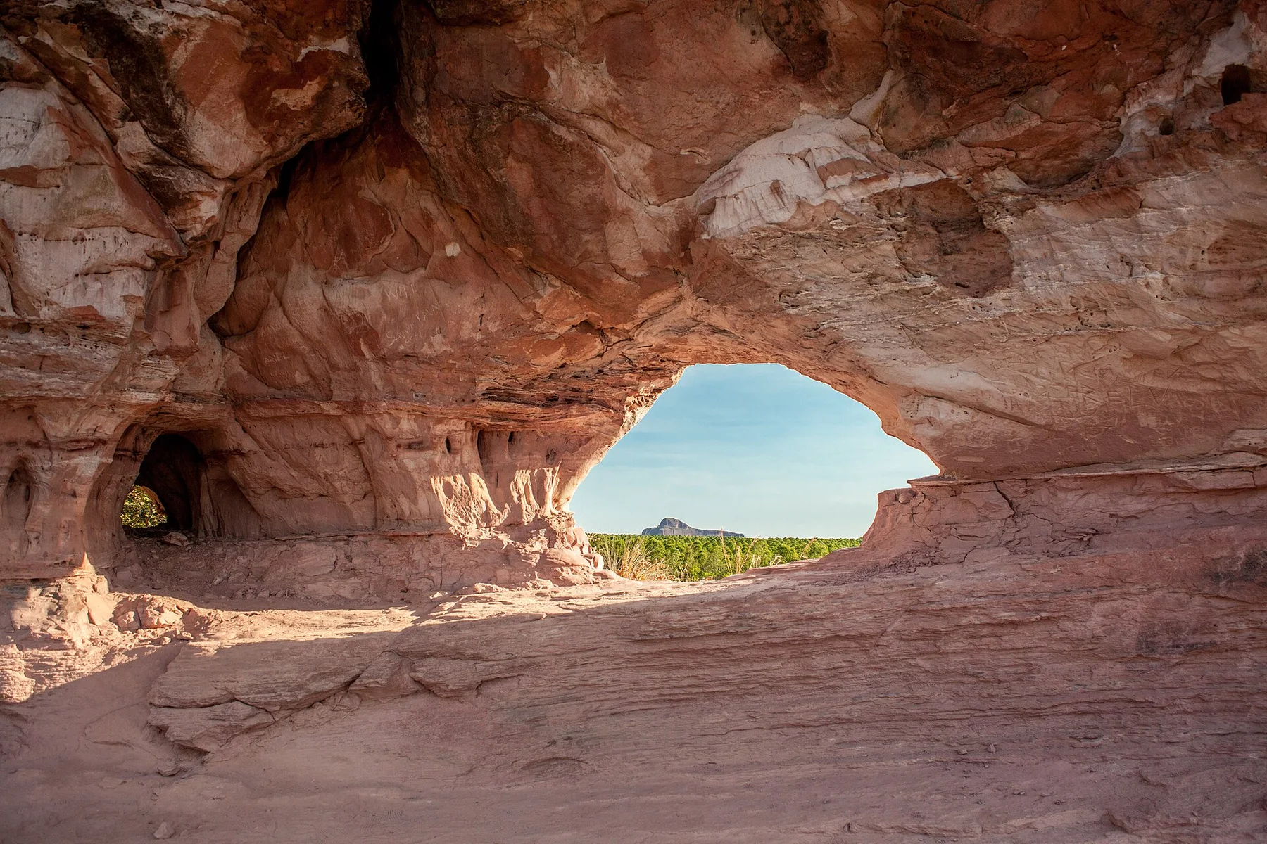
Enter the immense mouth of Terra Ronca cave

The scale is architectural: a river disappears beneath a cathedral-sized arch before continuing through darkness and skylit chambers.

Begin before heat and hard overhead light; save the widest overlook for late afternoon if access and trail time allow.

Look a little closer

Worth discovering

The details that make Terra Ronca different.

Destination view
01

Terra Ronca cave

A monumental entrance frames an active underground river.

Destination view
02

Angélica cave

Large chambers contain extensive speleothems.

Destination view
03

São Mateus river system

Water shapes caves, valleys and seasonal access.

Photo journal

A closer look at Terra Ronca

2 photographs
Origins and change

Reading the layers of Terra Ronca

Huge limestone caves, underground rivers and cerrado valleys form one of Brazil's most impressive karst regions. The view is only the surface of a longer story of formation, use and change.

Terra Ronca is centred on Eastern Goias, where huge limestone caves, underground rivers and cerrado valleys form one of Brazil's most impressive karst regions. The strongest reason to make the journey is to enter the immense mouth of terra ronca cave.

Many visits to Terra Ronca begin with the experience described as “Enter the immense mouth of Terra Ronca cave”. The more revealing question is why it exists here, how people used the surrounding ground and what remains visible from earlier phases. The scale is architectural: a river disappears beneath a cathedral-sized arch before continuing through darkness and skylit chambers.

Continue to practical planning
Rio proveniente de uma veredaSee the complete photo journal
Natural history

How the landscape was assembled

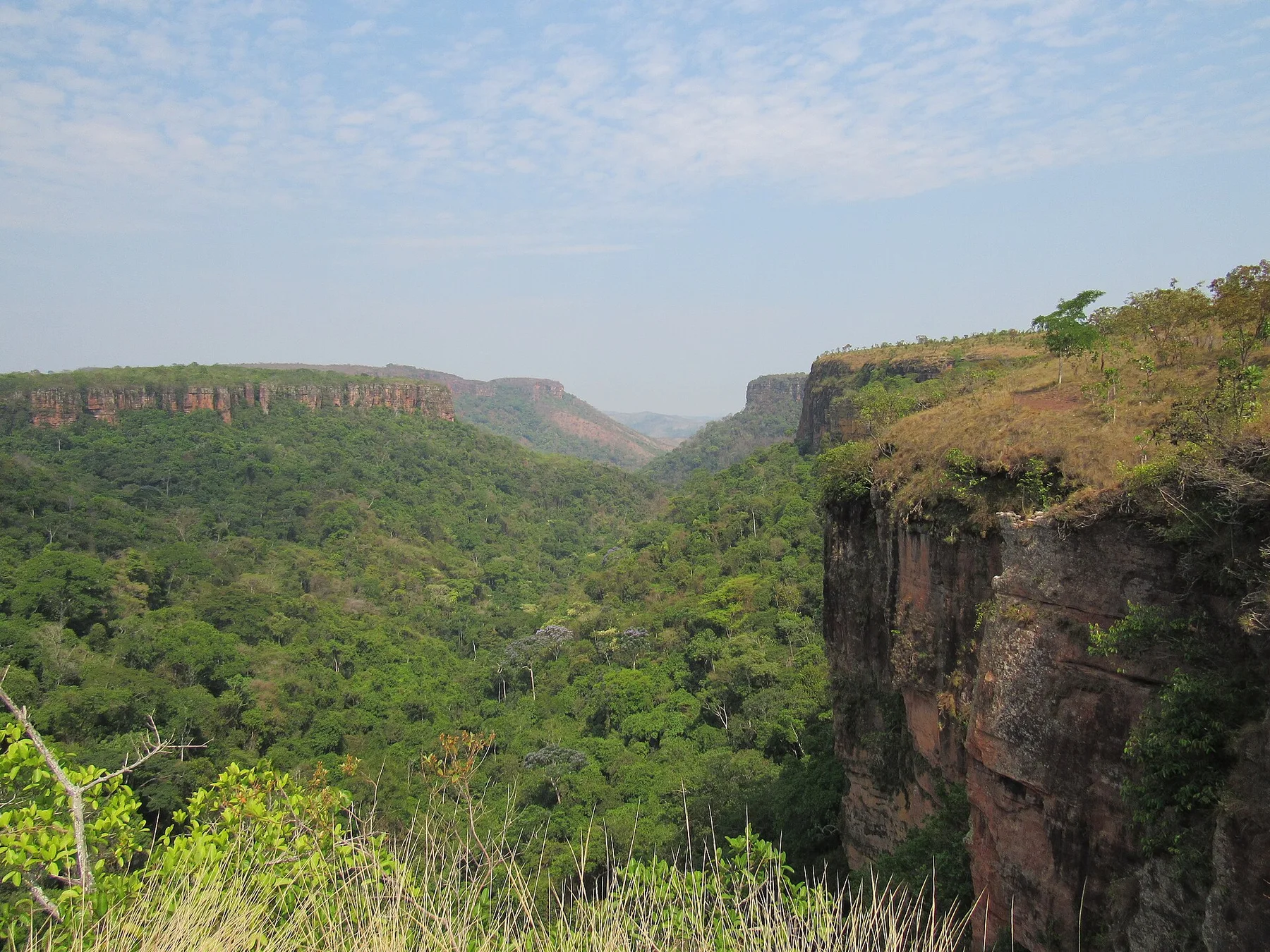
The first layer of Terra Ronca is geological and ecological rather than scenic. Erosion exposes rock, cliffs and drainage patterns that are easiest to understand from both the rim and the lower route. Heat and shade can differ sharply within a short distance.

Erosion and scarcity give small features unusual weight. At Terra Ronca, “Terra Ronca cave” exposes the processes that cut, transported or concentrated the visible materials. A monumental entrance frames an active underground river.

Settlement and memory

Routes, livelihoods and belonging

Terra Ronca's limestone caves contain archaeological traces and lie near territories of Kalunga quilombola communities whose ancestors formed settlements beyond direct colonial control. Rivers disappear underground and re-emerge, shaping both local routes and religious imagination.

Mining interest, ranching and uncontrolled cave visitation increased in the twentieth century. Goias created Terra Ronca State Park in 1989, though land tenure and management remained incomplete for years.

Reorganisation

The modern turning point

Guided cave tourism now provides income while protecting fragile formations and bat colonies. The park's effectiveness depends on recognising neighbouring communities as knowledge holders rather than treating the karst as an empty geological playground.

On the ground

Where the story becomes visible

At Terra Ronca, the feature “Terra Ronca cave” provides a precise clue to how the landscape works. A monumental entrance frames an active underground river. Its position and condition at Terra Ronca connect physical history with the way people use the place now.

At Terra Ronca, the significance of the feature “Angélica cave” goes beyond its visual impact. Large chambers contain extensive speleothems. Its position and condition at Terra Ronca connect physical history with the way people use the place now.

At Terra Ronca, the significance of the feature “São Mateus river system” goes beyond its visual impact. Water shapes caves, valleys and seasonal access. Within Terra Ronca, the feature explains why this destination differs from nearby landscapes.

Continuity

The place within its wider region

At Terra Ronca, light, water and temperature reveal different structures at different times of year. For Terra Ronca, the most reliable visiting window is May-Sep.

For Terra Ronca, the stated visiting window is May-Sep, but its practical meaning depends on local weather, water and transport rather than the calendar alone.

Placed within its wider geography, Terra Ronca is not an isolated exception. Beyond the best-known image of Terra Ronca feature, Terra Ronca matters because angélica cave and são mateus river system place the destination inside a broader regional story.

At Terra Ronca, “Terra Ronca cave, Angélica cave and São Mateus river system” forms a practical cross-section when connected with surrounding routes and settlements, rather than treated as a set of unrelated attractions. Within Eastern Goias, these relationships distinguish Terra Ronca from superficially similar destinations and explain why a slower, connected reading produces more understanding than a rapid series of stops.
Chronology

Key dates

  1. Caves and hidden settlements

    Rock shelters, rivers and remote valleys supported long human use.

  2. State park established

    Formal protection responded to mining and visitation pressure.

  3. Community-linked cave tourism

    Local guides mediate access to complex, flood-prone underground systems.

Travel notes

Plan your visit

Time needed
2-3 days
Getting around
Road access and hiking
Effort
Moderate
Plan first
Heat, trail exposure and permits if required
Time of day
Sunrise or late afternoon
Best window
May-Sep
Traveller stories

Stories from people who have been here.

First-hand moments, practical notes and overlooked details from Terra Ronca.

Loading traveller stories…

Browse all traveller stories ↗

Keep exploring

Where next?

All place stories