Key Monastery
A fortified monastic complex occupies a commanding position above the river.
Start early and make this the first exposed stop of the day. Keep a lower route ready if cloud, heat, wind or trail conditions change during Jun-Sep.
High desert valleys, Buddhist monasteries and villages beneath eroded mountains create a severe trans-Himalayan landscape.
A fortified monastic complex occupies a commanding position above the river.
Start early and make this the first exposed stop of the day. Keep a lower route ready if cloud, heat, wind or trail conditions change during Jun-Sep.
The details that make Spiti Valley different.
A fortified monastic complex occupies a commanding position above the river.
A side valley adds wildlife habitat, villages and different geological colour.
Settlements such as Kibber and Langza demonstrate life at exceptional elevation.
High desert valleys, Buddhist monasteries and villages beneath eroded mountains create a severe trans-Himalayan landscape. Its character becomes clearer when geology, settlement and modern protection are considered together.
Spiti Valley occupies a high-altitude basin between the Greater Himalaya and the Tibetan Plateau. High desert valleys, Buddhist monasteries and villages beneath eroded mountains create a severe trans-Himalayan landscape. Spiti connects culturally and physically with Kinnaur, Ladakh and western Tibet, forming part of a larger Himalayan highland world.
Many visits to Spiti Valley begin with the experience described as “Key Monastery”. The more revealing question is why it exists here, how people used the surrounding ground and what remains visible from earlier phases. A fortified monastic complex occupies a commanding position above the river.
Continue to practical planningAt Spiti Valley, the form of the landscape explains many of the choices that came later. Broad gravel valleys, layered sedimentary mountains and snow peaks are cut by the Spiti River and its tributaries.
Altitude turns distance into effort and creates abrupt ecological boundaries. At Spiti Valley, “Key Monastery” provides a useful reference point for understanding that vertical structure. A fortified monastic complex occupies a commanding position above the river.
At Spiti Valley, people learned to work with the landscape limits rather than arriving after its story was complete. Compact villages, irrigated fields and monasteries such as Key and Tabo show how settlement depends on water, sun and short growing seasons.
A close look at “Pin Valley” makes the cultural layer of Spiti Valley more concrete. A side valley adds wildlife habitat, villages and different geological colour. At Spiti Valley, the surviving form links present-day identity with earlier work and settlement.
The decisive modern change at Spiti Valley was access. At Spiti Valley, transport and visitor infrastructure made the landscape easier to reach while concentrating pressure at the few points where roads, boats or trails enter it. At Spiti Valley, the consequences are clearest where traditional use, protection and tourism occupy the same ground.
At Spiti Valley, the feature “Key Monastery” is best understood as part of the surrounding system rather than an isolated stop. A fortified monastic complex occupies a commanding position above the river. Its position and condition at Spiti Valley connect physical history with the way people use the place now.
At Spiti Valley, the feature “Pin Valley” is best understood as part of the surrounding system rather than an isolated stop. A side valley adds wildlife habitat, villages and different geological colour. Within Spiti Valley, the feature explains why this destination differs from nearby landscapes.
At Spiti Valley, the feature “High villages” is one of the most useful pieces of visible evidence. Settlements such as Kibber and Langza demonstrate life at exceptional elevation. For Spiti Valley, that relationship is more informative than treating the feature only as a photograph or checklist item.
Spiti Valley changes through the year because weather and biological cycles rearrange what can be seen and used. Most road access is practical in summer; altitude, landslides and early snow can affect travel even during the main season.
For Spiti Valley, the main seasonal constraint is: the strongest planning window is Jun-Sep. For Spiti Valley, outside it, check weather, daylight, road or ferry schedules and seasonal closures before committing to a fixed route.
For Spiti Valley, one practical detail matters: distances, fuel, food and mobile coverage can be less predictable than the map suggests. For Spiti Valley, carry offline maps and keep a margin in the schedule.
Placed within its wider geography, Spiti Valley is not an isolated exception. For Spiti Valley, the wider context shows that, spiti connects culturally and physically with Kinnaur, Ladakh and western Tibet, forming part of a larger Himalayan highland world.
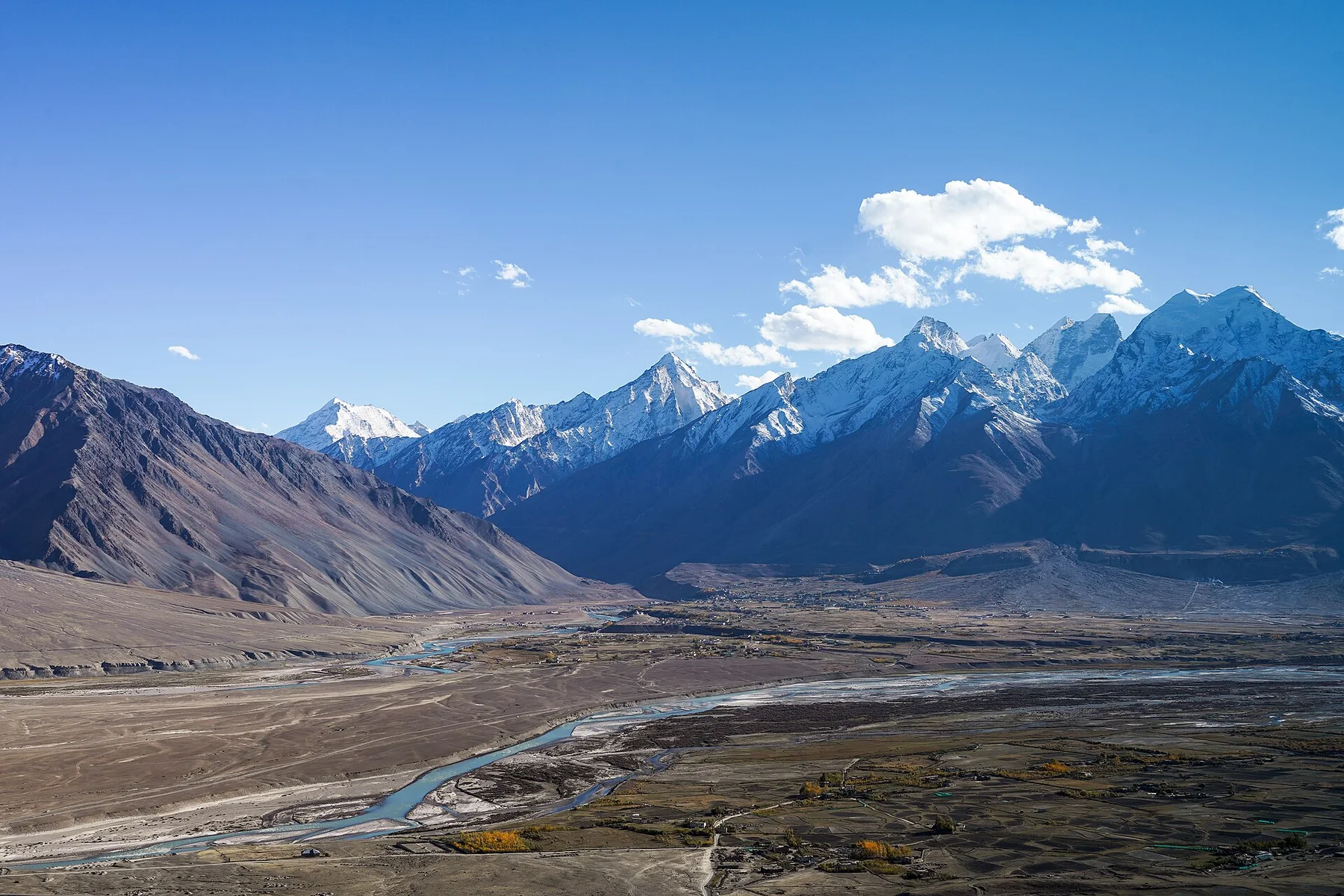
A high Himalayan valley system of river gorges, Buddhist monasteries, remote villages and severe mountain passes in southern Ladakh.
Explore this place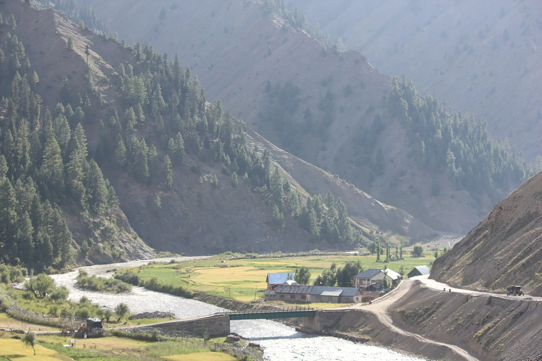
A high border valley of wooden villages, alpine meadows and the Kishanganga River lies beyond major passes in the western Himalaya.
Explore this place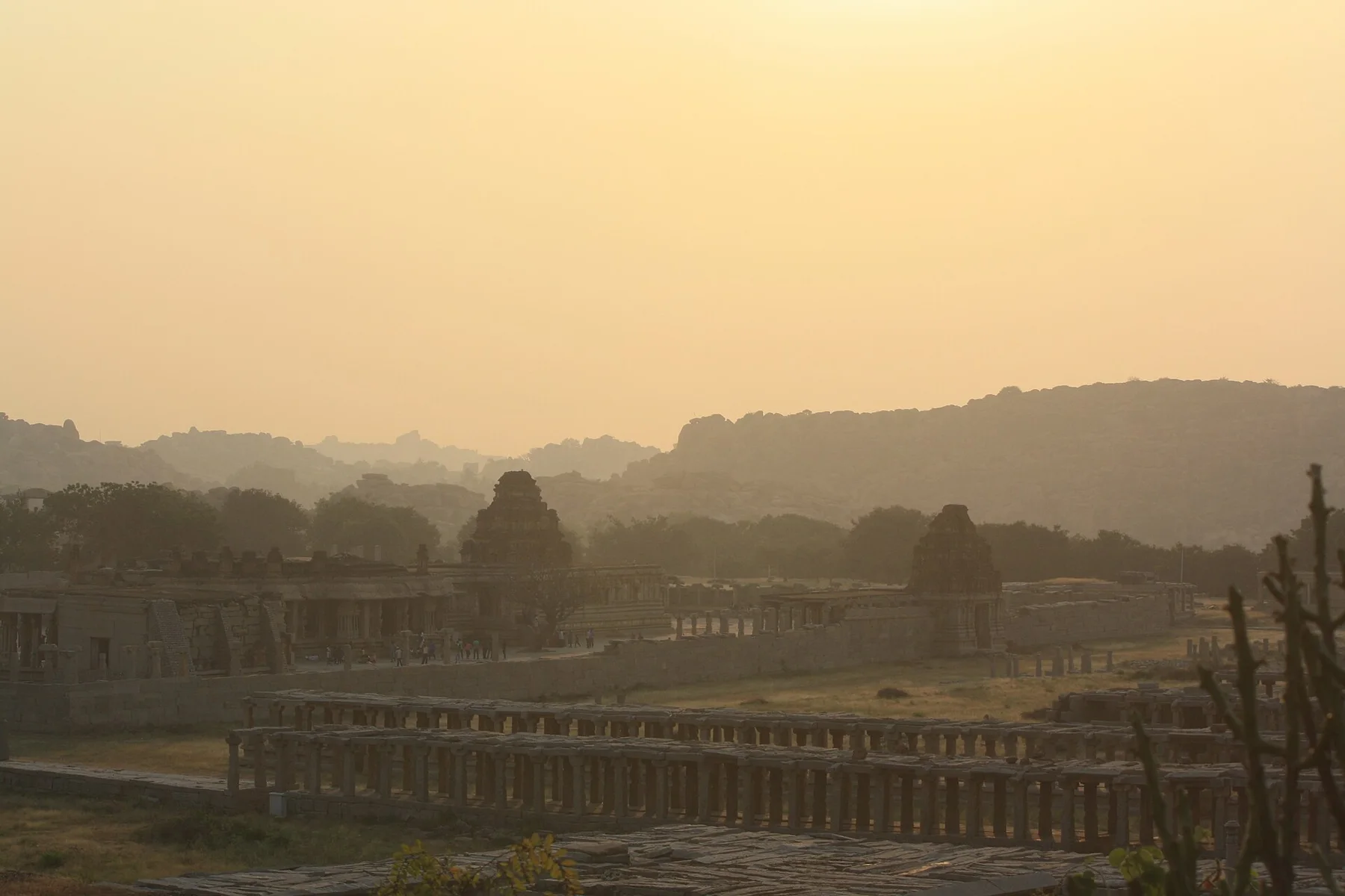
Vijayanagara ruins, living temples, river agriculture and immense granite boulder fields share one of South India's most distinctive cultural landscapes.
Explore this place