Arabian mountains in the sea

Musandam Peninsula

Bare mountains descend directly into deep marine inlets at the northern tip of Oman, creating a coast of cliffs, villages and narrow water passages.

Khor inletsStone mountainsCoastal villages

Location
Strait of Hormuz, Oman
Best window
Oct-Apr
Suggested stay
2-4 days
Go for
Mountain and sea crossing
The reason to go

Khor ash Sham

A long sheltered inlet penetrates the mountains and connects small coastal communities with open strait water.

Plan the least frequent boat, ferry or exposed coastal section first. Use early or late light and keep a weather alternative during Oct-Apr.

Look a little closer

Worth discovering

The details that make Musandam Peninsula different.

Photo journal
01

Khor ash Sham

A long sheltered inlet penetrates the mountains and connects small coastal communities with open strait water.

Destination view
02

Jebel Harim

High roads cross folded limestone and reveal fossil-bearing rock above the coast.

Destination view
03

Strait of Hormuz

The peninsula overlooks a narrow global shipping route where mountain, village and maritime traffic converge.

Photo journal

A closer look at Musandam Peninsula

11 photographs
Deep background

Musandam Peninsula beyond the first view

Bare mountains descend directly into deep marine inlets at the northern tip of Oman, creating a coast of cliffs, villages and narrow water passages. The view is only the surface of a longer story of formation, use and change.

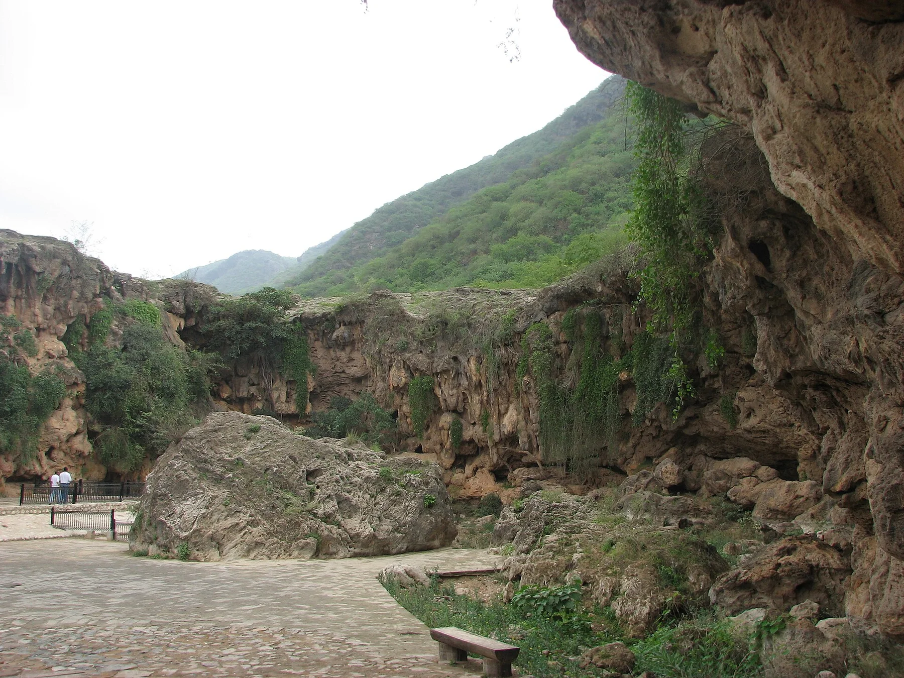
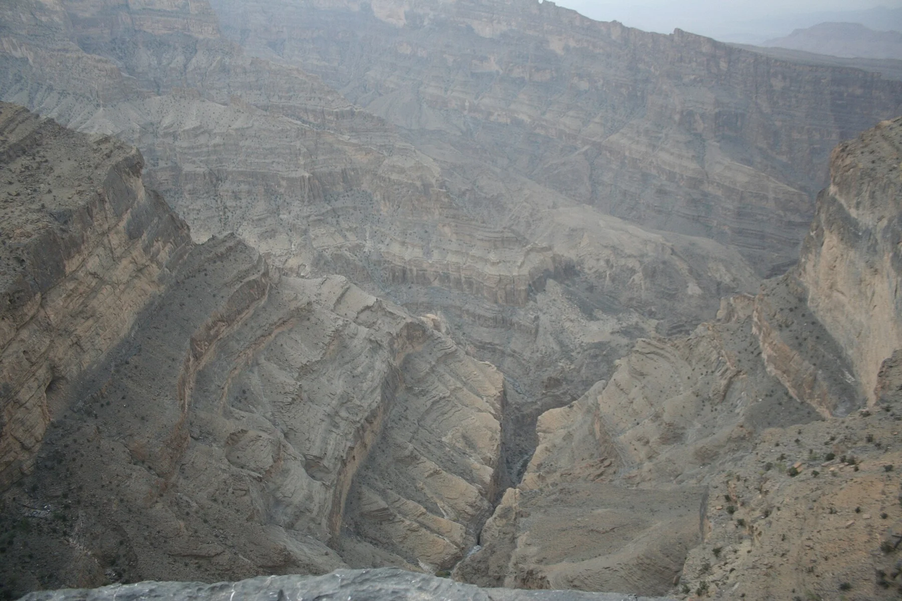
Musandam Peninsula is best approached through the relationship between its setting and its lived landscape. Musandam forms a mountainous enclave separated from the rest of Oman by the United Arab Emirates. The Hajar Mountains reach the Strait of Hormuz in steep folds, while drowned valleys create long inlets known locally as khors. Road and boat travel reveal different sides of the same rugged peninsula.

The familiar invitation at Musandam Peninsula is “Khor ash Sham”, yet that image makes more sense when it is connected to the landform, the local economy and the changes that determined access. A long sheltered inlet penetrates the mountains and connects small coastal communities with open strait water.

Continue to practical planning
Khasab Castle Musandam OmanSee the complete photo journal
Origins

What the ground explains

At Musandam Peninsula, the physical story begins with the structure of the ground. The rock is dry and sharply layered, with little soil on exposed slopes. Inlets cut deep into the coast and shelter calmer water beneath high walls. Underwater, reefs and currents add another landscape connected to one of the world's busiest shipping passages.

On an island, coast, altitude and exposure work together. At Musandam Peninsula, the feature described as “Khor ash Sham” shows how a short distance can separate sheltered ground from a very different ocean-facing environment. A long sheltered inlet penetrates the mountains and connects small coastal communities with open strait water.

Human history

The human landscape behind the scenery

At Musandam Peninsula, human history is written into settlement and land use rather than separated from the scenery. Small coastal settlements historically depended on fishing, boats and difficult mountain routes. Some villages remain more easily reached from the water than by road. Khasab is the principal town and a base for modern services, while older stone terraces and seasonal settlements survive in the interior.

The role of “Jebel Harim” is especially revealing at Musandam Peninsula. High roads cross folded limestone and reveal fossil-bearing rock above the coast. In the history of Musandam Peninsula, it connects the wider regional context with a specific place that can still be examined today.

Modern history

A landscape reorganised

The decisive modern change at Musandam Peninsula was access. At Musandam Peninsula, transport and visitor infrastructure made the landscape easier to reach while concentrating pressure at the few points where roads, boats or trails enter it. At Musandam Peninsula, the consequences are clearest where traditional use, protection and tourism occupy the same ground.

Field notes

The evidence still visible on the ground

At Musandam Peninsula, the feature “Khor ash Sham” is best understood as part of the surrounding system rather than an isolated stop. A long sheltered inlet penetrates the mountains and connects small coastal communities with open strait water. Its position and condition at Musandam Peninsula connect physical history with the way people use the place now.

At Musandam Peninsula, the feature “Jebel Harim” is one of the most useful pieces of visible evidence. High roads cross folded limestone and reveal fossil-bearing rock above the coast. Its position and condition at Musandam Peninsula connect physical history with the way people use the place now.

At Musandam Peninsula, the significance of the feature “Strait of Hormuz” goes beyond its visual impact. The peninsula overlooks a narrow global shipping route where mountain, village and maritime traffic converge. At Musandam Peninsula, the detail links local scale with the wider regional pattern.

Continuity

A living landscape, not a frozen scene

A single visit to Musandam Peninsula captures only one phase of its annual cycle. The cooler months are best for both land and water travel. Summer brings intense heat and humidity at sea level, even when higher ridges are somewhat cooler. Winter can produce wind and rough water, so conditions in the strait still require attention.

For Musandam Peninsula, the main seasonal constraint is: the strongest planning window is Oct-Apr. For Musandam Peninsula, outside it, check weather, daylight, road or ferry schedules and seasonal closures before committing to a fixed route.

For Musandam Peninsula, one practical detail matters: cloud, wind and trail conditions can change quickly. For Musandam Peninsula, put the highest or most exposed stop first and keep a lower-level alternative.

Placed within its wider geography, Musandam Peninsula is not an isolated exception. For Musandam Peninsula, the wider context shows that, musandam combines local scale with global geography. For Musandam Peninsula, traditional boats move through the same waters as international shipping, and quiet inlets sit close to a strategic maritime corridor. For Musandam Peninsula, that contrast gives the peninsula significance beyond its dramatic scenery.
Travel notes

Plan your visit

Time needed
2-4 days
Getting around
Car to access points, then walking or hiking
Effort
Moderate
Plan first
Opening days and any limited-entry sites
Time of day
Start early for clearer conditions and more time
Best window
Oct-Apr
Traveller stories

Stories from people who have been here.

First-hand moments, practical notes and overlooked details from Musandam Peninsula.

Loading traveller stories…

Browse all traveller stories ↗

Keep exploring

Where next?

All place stories