The route builds from lake and rainforest to an exposed alpine pass, then descends past waterfalls into one of Fiordland’s wettest valleys.
Coordinate every transport leg with the fixed hut itinerary; there is no casual last-minute start.
Look a little closer
Worth discovering
The details that make Milford Track different.
Destination view
01
Mackinnon Pass
The high crossing gives a broad view into the Clinton and Arthur valleys.
Destination view
02
Sutherland Falls side trip
A side route reaches the base of one of New Zealand’s highest waterfalls.
Destination view
03
Clinton Valley forest
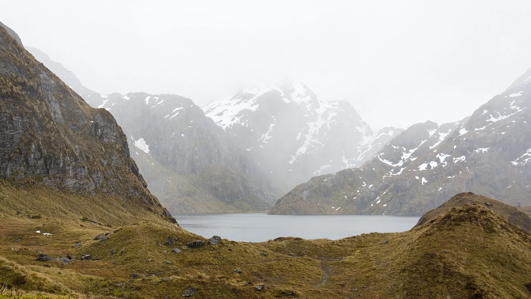
Rainforest, river flats and steep glacial walls shape the first half of the track.
Photo journal
A closer look at Milford Track
9 photographs
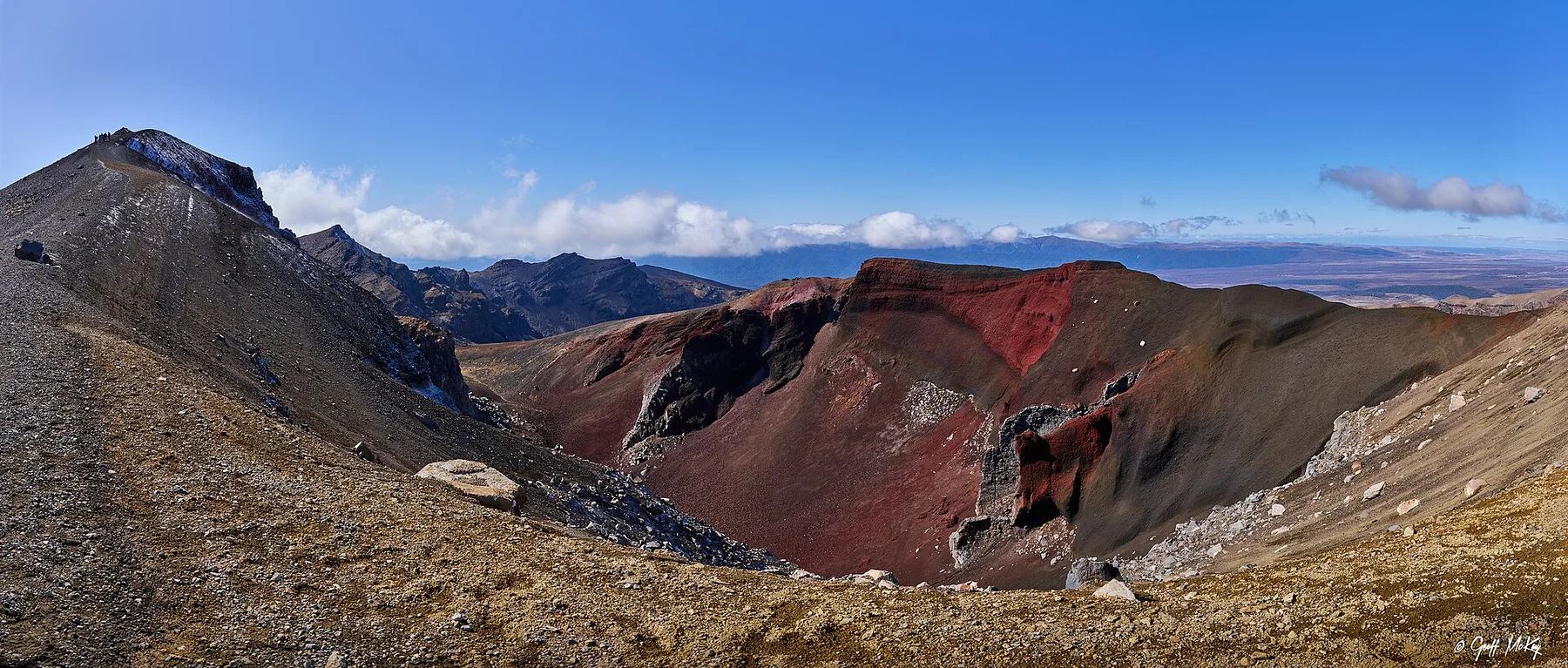
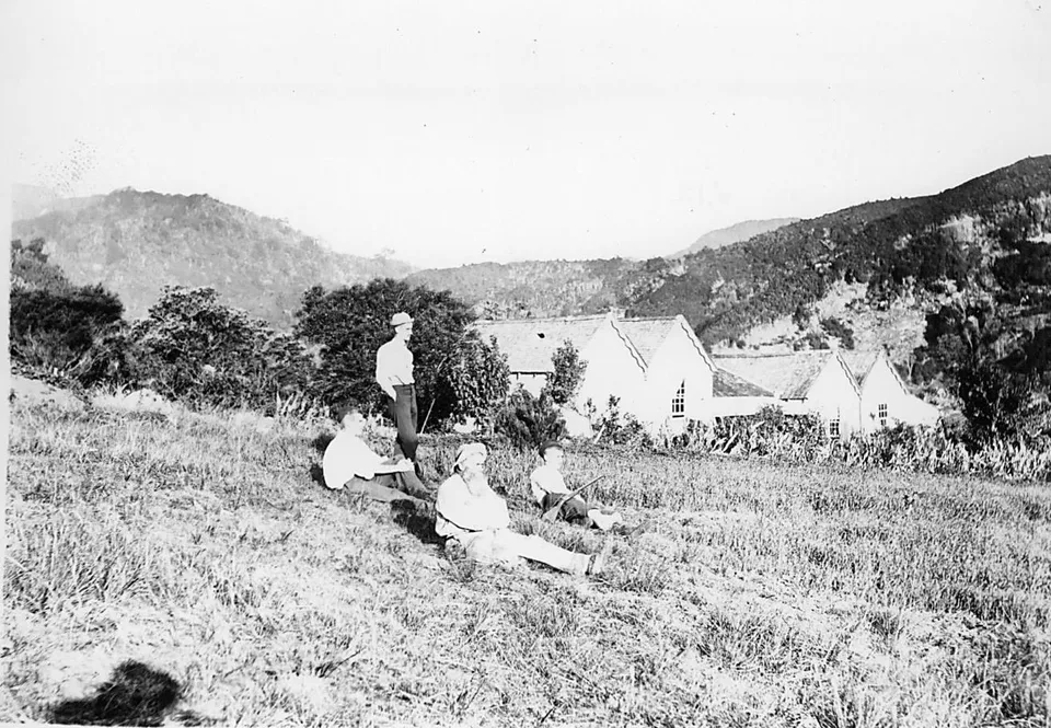
01Milford Track Clinton River 202Milford Track — view 203Milford Track — view 304Slow Travelling Towards Milford Sound05Milford Track — view 506Milford Track — view 607Milford Track Walking Track Shelter Hut08Mountains in Fiordland National Park 0109Milford Track, Clinton Valley, New Zealand - panoramio
Landscape and history
A deeper history of Milford Track
A four-day route follows glacial valleys, crosses Mackinnon Pass and finishes beside Milford Sound. The view is only the surface of a longer story of formation, use and change.
4 min readFiordland, New Zealand
Milford Track is centred on Fiordland, where a four-day route follows glacial valleys, crosses Mackinnon Pass and finishes beside Milford Sound. The strongest reason to make the journey is to cross Mackinnon Pass into the Arthur Valley.
The strongest visual shorthand for Milford Track is the experience described as “Cross Mackinnon Pass into the Arthur Valley”. Behind it lies a more complex relationship between physical processes, settlement and the modern idea of the place as a destination. The route builds from lake and rainforest to an exposed alpine pass, then descends past waterfalls into one of Fiordland’s wettest valleys.
At Milford Track, the form of the landscape explains many of the choices that came later. Changes in height, rock, water and exposure make the sequence important: the approach, the most engineered or natural passage and the final overlook each reveal a different part of Fiordland.
A route records decisions about gradient, exposure and access. At Milford Track, “Mackinnon Pass” shows why this line was chosen and what kind of movement it was designed to permit. The high crossing gives a broad view into the Clinton and Arthur valleys.
02
Human history
The cultural layer of the place
Maori knew routes and resources across Fiordland long before organised tourism, but the modern Milford Track traces the late nineteenth-century search for an overland passage to Milford Sound. Quintin McKinnon crossed the pass now bearing his name in 1888 while working with surveyor Ernest Mitchell.
Guided parties began soon afterward, and huts, boats and track work turned the crossing into a carefully staged journey. The phrase 'finest walk in the world' emerged from early tourism promotion, helping create an international reputation that predates modern Great Walk branding.
03
Turning point
The modern turning point
The track developed as a guided tourism product from the start, then gained an independent-walker system. Floods, avalanches and landslides still force repairs and occasional rerouting despite more than a century of infrastructure.
04
Details to read
The small features that reveal the larger pattern
At Milford Track, the significance of the feature “Mackinnon Pass” goes beyond its visual impact. The high crossing gives a broad view into the Clinton and Arthur valleys. Within Milford Track, the feature explains why this destination differs from nearby landscapes.
At Milford Track, the feature “Sutherland Falls side trip” is best understood as part of the surrounding system rather than an isolated stop. A side route reaches the base of one of New Zealand’s highest waterfalls. At Milford Track, it gives a concrete reference point for reading change rather than merely collecting viewpoints.
At Milford Track, the feature “Clinton Valley forest” is best understood as part of the surrounding system rather than an isolated stop. Rainforest, river flats and steep glacial walls shape the first half of the track. Its position and condition at Milford Track connect physical history with the way people use the place now.
05
Season and scale
What continues to change
A single visit to Milford Track captures only one phase of its annual cycle. For Milford Track, the most reliable visiting window is Nov-Apr.
For Milford Track, one practical detail matters: bookings are highly competitive and rainfall can alter bridges, side trips or track conditions.
For Milford Track, the most useful visiting period is: early hut departures.
Placed within its wider geography, Milford Track is not an isolated exception. Beyond the best-known image of Milford Track crossing, Milford Track is useful because sutherland falls side trip and clinton valley forest place the route inside a broader landscape story.
Chronology
Key dates
McKinnon Pass crossed
Quintin McKinnon and Ernest Mitchell established the route used by the modern track.
Guided tourism begins
Huts, boats and organised parties created a commercial multi-day journey.
A regulated Great Walk
Booking systems and repeated storm repairs maintain the historic route through Fiordland.
Travel notes
Plan your visit
Time needed
4 days
Getting around
Boat access, booked huts and one-way transport
Effort
Moderate to demanding
Plan first
Great Walk booking, boats and weather
Time of day
Early hut departures
Best window
Nov-Apr
Traveller stories
Stories from people who have been here.
First-hand moments, practical notes and overlooked details from Milford Track.