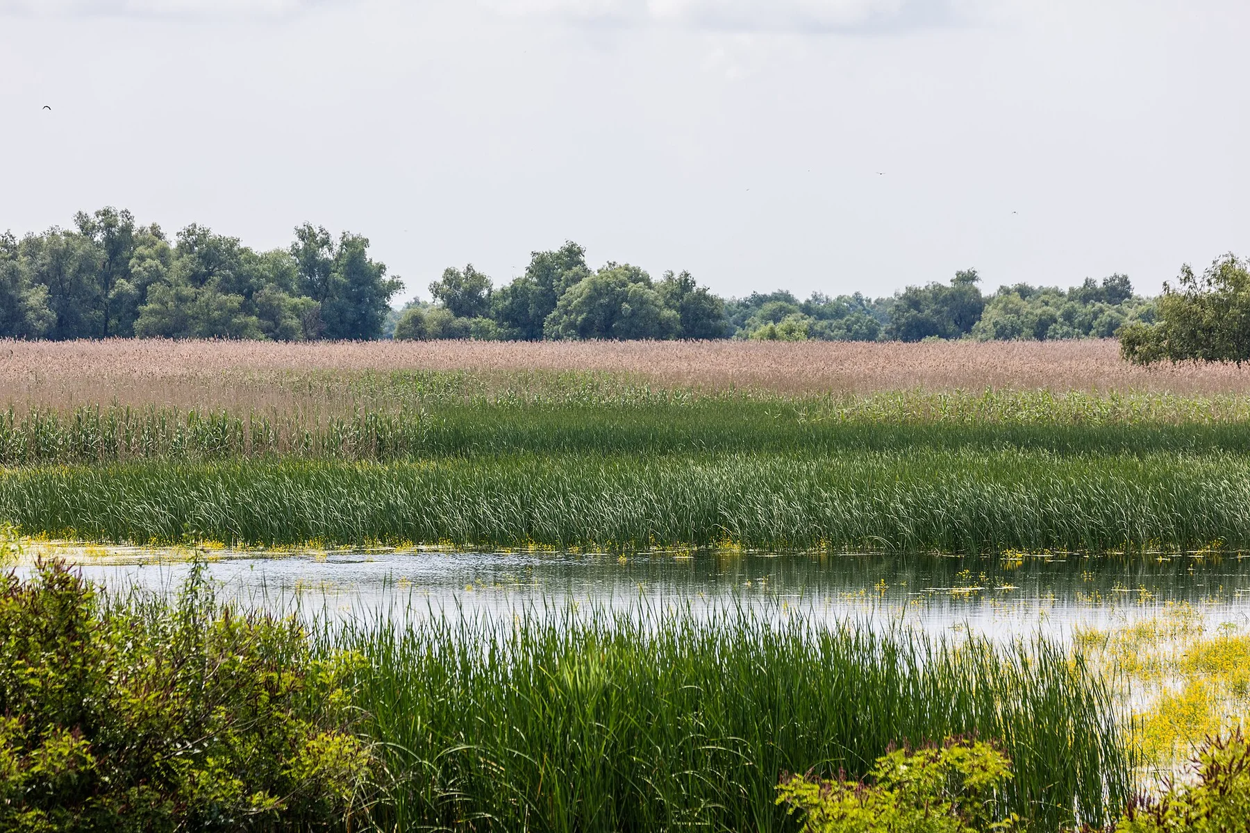
A plateau folded with caves

Mehedinti Plateau

A limestone plateau of sinkholes, caves, isolated hamlets and forested gorges between the Danube and the higher Mehedinti Mountains.

KarstCavesRural landscapes

Location
Southwestern Carpathians, Romania
Best window
Apr-Oct
Suggested stay
2-4 days
Go for
Hidden Romanian karst
The reason to go

Karst geography still embedded in village life

The plateau combines dramatic underground forms with orchards, hayfields and scattered settlements, allowing geology and rural land use to be read in the same walk.

Stay long enough to connect Mehedinti Plateau's headline landscape with one quieter local route rather than treating it as a single viewpoint.
Look a little closer

Worth discovering

The details that make Mehedinti Plateau different.

Destination view
01

Natural bridges and caves

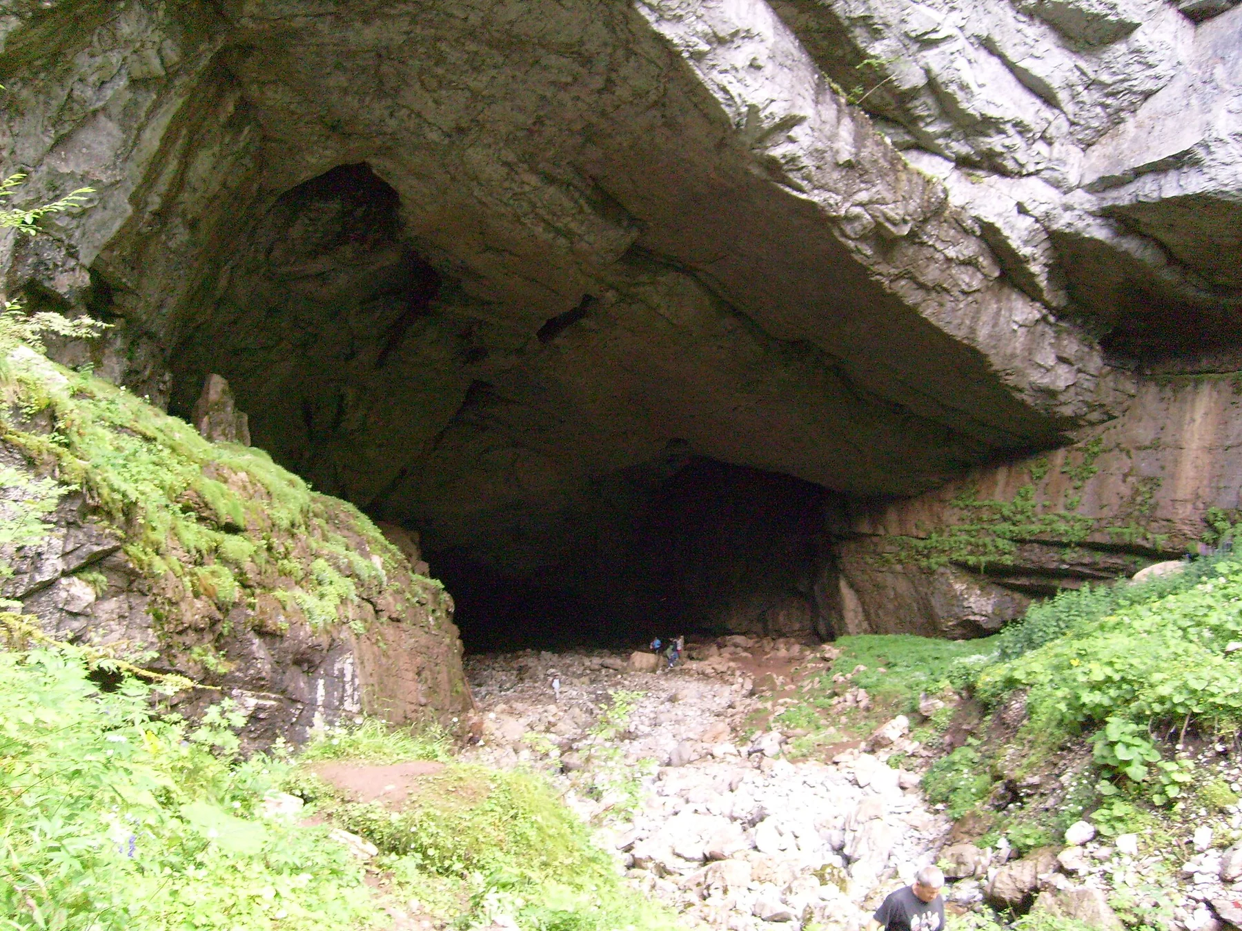
Soluble limestone has produced arches, caverns, sinkholes and disappearing streams across a relatively compact area.

Destination view
02

Ponoare's seasonal lake

Water levels can transform the local karst basin, revealing how surface drainage responds to hidden underground routes.

Destination view
03

Lilac on limestone

Wild lilac landscapes add a distinctive spring layer to the pale rock and oak forest.

Photo journal

A closer look at Mehedinti Plateau

3 photographs
Landscape and history

Mehedinti Plateau: land, people and change

A limestone plateau of sinkholes, caves, isolated hamlets and forested gorges between the Danube and the higher Mehedinti Mountains. Its character becomes clearer when geology, settlement and modern protection are considered together.

Mehedinti Plateau is best approached through the relationship between its setting and its lived landscape. The plateau combines dramatic underground forms with orchards, hayfields and scattered settlements, allowing geology and rural land use to be read in the same walk.

Visitors often encounter Mehedinti Plateau through the idea of “Hidden Romanian karst”, but the destination is more than that single scene. Its landscape carries evidence of work, movement, adaptation and environmental change. At Mehedinti Plateau, allow enough time to connect Mehedinti Plateau's headline landscape with one quieter local route instead of reducing Mehedinti Plateau to a single viewpoint.

Continue to practical planning
Podul Natural PonoareleSee the complete photo journal
Origins

The landform before the landmark

Understanding Mehedinti Plateau starts below the visible surface. Limestone ridges and plateaus are cut by gorges, dolines and cave systems, with beech and oak forest alternating with traditional hay meadows.

Relief controls far more than the view. At Mehedinti Plateau, “Natural bridges and caves” reveals how elevation divides vegetation, weather, water and the routes available to people. Soluble limestone has produced arches, caverns, sinkholes and disappearing streams across a relatively compact area.

Cultural landscape

The human landscape behind the scenery

The Mehedinti Plateau developed as a karst farming landscape between the Danube corridor, Cerna valley and higher mountains. Villages used small limestone depressions for fields and orchards, while springs, caves and disappearing streams determined where houses, mills and roads could be sustained.

Ponoarele became the best-known concentration of features around the natural bridge known as Podul lui Dumnezeu, the seasonal Zaton lakes and nearby caves. Traditional hay meadows, lilac scrub and dispersed hamlets survived because the broken terrain limited intensive agriculture and large-scale urbanisation.

Modern history

How access and attention changed the place

Road improvement and geotourism brought more visitors to individual landmarks, but the plateau's meaning lies in the whole settlement system created around unreliable surface water and soluble rock. Abandoned mills, field walls, orchard terraces and cave entrances show practical adaptation rather than untouched nature.

Visible evidence

Landmarks that carry the deeper story

At Mehedinti Plateau, the feature “Natural bridges and caves” is best understood as part of the surrounding system rather than an isolated stop. Soluble limestone has produced arches, caverns, sinkholes and disappearing streams across a relatively compact area. At Mehedinti Plateau, the detail links local scale with the wider regional pattern.

Start with the feature “Ponoare's seasonal lake”, because it condenses a much larger part of the story of Mehedinti Plateau. Water levels can transform the local karst basin, revealing how surface drainage responds to hidden underground routes. At Mehedinti Plateau, it gives a concrete reference point for reading change rather than merely collecting viewpoints.

At Mehedinti Plateau, the feature “Lilac on limestone” provides a precise clue to how the landscape works. Wild lilac landscapes add a distinctive spring layer to the pale rock and oak forest. Within Mehedinti Plateau, it is both an attraction and a record of the processes described above.

Present day

What continues to change

At Mehedinti Plateau, season is part of the landscape history, not merely a planning detail. April and May bring water and wildflowers, summer is best for caves and long walks, and autumn adds colour. Heavy rain can alter karst paths quickly.

For Mehedinti Plateau, the most useful time of day is: morning around the karst fields.

For Mehedinti Plateau, plan this first: cave access and local road conditions.

Placed within its wider geography, Mehedinti Plateau is not an isolated exception. For Mehedinti Plateau, the wider context shows that, the Danube Iron Gates, Cerna Valley and Mehedinti Mountains connect the plateau to one of Romania's most varied southwest landscape corridors.

Chronology

Key dates

  1. Karst villages and mixed farming

    Communities arranged fields, orchards and routes around dolines, springs and forested ridges.

  2. Roads connect isolated hamlets

    Improved access reduced isolation and shifted local economies toward commuting and tourism.

  3. Karst heritage promoted

    Natural bridges, caves and seasonal lakes became focal points for conservation and geotourism.

In context

Get to know the place

The landscape

Limestone ridges and plateaus are cut by gorges, dolines and cave systems, with beech and oak forest alternating with traditional hay meadows.

People and place

Small communities maintain orchards, livestock and dispersed farms in terrain where water availability, caves and steep access have always shaped settlement.

Seasonal character

April and May bring water and wildflowers, summer is best for caves and long walks, and autumn adds colour. Heavy rain can alter karst paths quickly.

Beyond the main view

The Danube Iron Gates, Cerna Valley and Mehedinti Mountains connect the plateau to one of Romania's most varied southwest landscape corridors.

Travel notes

Plan your visit

Time needed
2-4 days
Getting around
Car and walking
Effort
Easy to moderate
Plan first
Cave access and local road conditions
Time of day
Morning around the karst fields
Best window
Apr-Oct
Keep exploring

Where next?

All place stories