Garajonay forest
Cloud-fed laurel woodland preserves a humid ecosystem at the island’s centre.
Plan the least frequent boat, ferry or exposed coastal section first. Use early or late light and keep a weather alternative during Oct-May.
Ravines, laurel forest and terraced settlements give this compact Atlantic island a vertical geography unlike the resort coastlines nearby.
Cloud-fed laurel woodland preserves a humid ecosystem at the island’s centre.
Plan the least frequent boat, ferry or exposed coastal section first. Use early or late light and keep a weather alternative during Oct-May.
The details that make La Gomera different.
Cloud-fed laurel woodland preserves a humid ecosystem at the island’s centre.
Cultivated slopes show how communities have adapted to limited level ground.
Volcanic plugs rise above ridges and make the island’s geology visible from the road.
Ravines, laurel forest and terraced settlements give this compact Atlantic island a vertical geography unlike the resort coastlines nearby. The view is only the surface of a longer story of formation, use and change.
La Gomera occupies a volcanic island west of Tenerife in the Canary archipelago. Ravines, laurel forest and terraced settlements give this compact Atlantic island a vertical geography unlike the resort coastlines nearby. La Gomera belongs to a wider Macaronesian system of volcanic islands, but its road scale, forest and settlement pattern make it distinct from larger Tenerife.
The familiar invitation at La Gomera is “Garajonay forest”, yet that image makes more sense when it is connected to the landform, the local economy and the changes that determined access. Cloud-fed laurel woodland preserves a humid ecosystem at the island’s centre.
Continue to practical planningAt La Gomera, the form of the landscape explains many of the choices that came later. Radial ravines descend from a high central plateau toward black-rock coasts, while cloud-fed laurel forest survives around the summit zone.
Because land is limited, every ridge, bay and passage acquires practical importance. At La Gomera, “Garajonay forest” is where that compressed geography becomes easiest to read. Cloud-fed laurel woodland preserves a humid ecosystem at the island’s centre.
La Gomera has been shaped as much by livelihoods and movement as by natural processes. Villages and small agricultural terraces occupy benches and valley mouths; the whistled language Silbo Gomero reflects communication across steep terrain.
At La Gomera, the feature described as “Valle Gran Rey terraces” offers a second line of evidence. Cultivated slopes show how communities have adapted to limited level ground. Within La Gomera, it shows how local knowledge and practical use became embedded in the landscape.
The decisive modern change at La Gomera was access. At La Gomera, transport and visitor infrastructure made the landscape easier to reach while concentrating pressure at the few points where roads, boats or trails enter it. At La Gomera, the consequences are clearest where traditional use, protection and tourism occupy the same ground.
At La Gomera, the feature “Garajonay forest” provides a precise clue to how the landscape works. Cloud-fed laurel woodland preserves a humid ecosystem at the island’s centre. Its position and condition at La Gomera connect physical history with the way people use the place now.
Look closely at the feature “Valle Gran Rey terraces” in La Gomera; it carries information that a panoramic view can miss. Cultivated slopes show how communities have adapted to limited level ground. At La Gomera, it gives a concrete reference point for reading change rather than merely collecting viewpoints.
At La Gomera, the feature “Roques landscape” provides a precise clue to how the landscape works. Volcanic plugs rise above ridges and make the island’s geology visible from the road. At La Gomera, it gives a concrete reference point for reading change rather than merely collecting viewpoints.
La Gomera changes through the year because weather and biological cycles rearrange what can be seen and used. Autumn through spring offers mild walking conditions, although cloud, wind and local rain can vary sharply between the north and south of the island.
For La Gomera, the main seasonal constraint is: the strongest planning window is Oct-May. For La Gomera, outside it, check weather, daylight, road or ferry schedules and seasonal closures before committing to a fixed route.
For La Gomera, one practical detail matters: ferries, tunnels and weather can change the order of the day. For La Gomera, build the route around the least frequent connection, not the closest viewpoint.
Placed within its wider geography, La Gomera is not an isolated exception. La Gomera belongs to a wider Macaronesian system of volcanic islands, but its road scale, forest and settlement pattern make it distinct from larger Tenerife.

A loop descends from a medieval hill village to metal walkways fixed above the Vero River.
Explore this place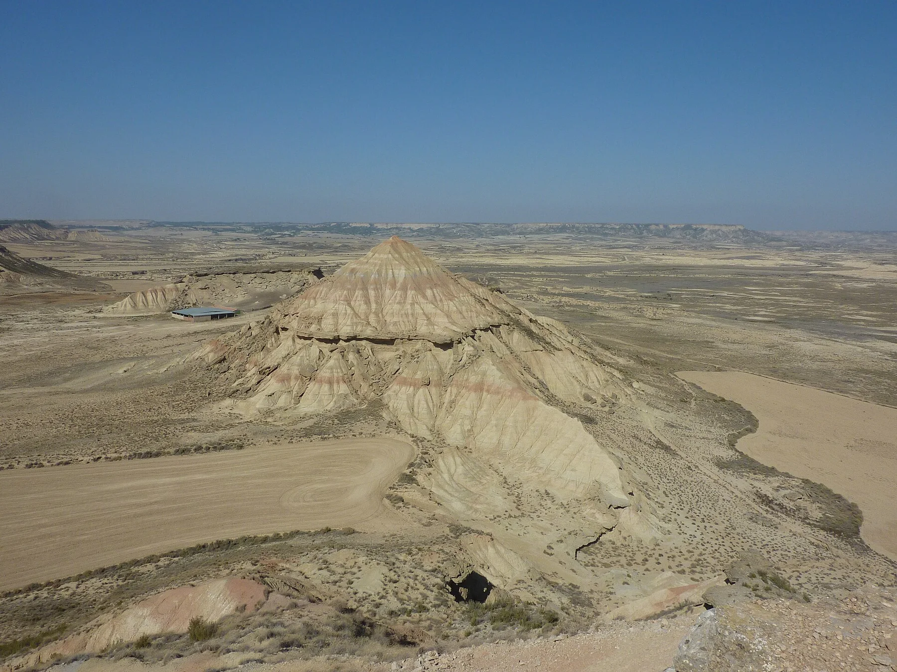
Eroded clay, sandstone plateaus and open semi-arid basins form a stark landscape between the Pyrenees and the Ebro valley.
Explore this place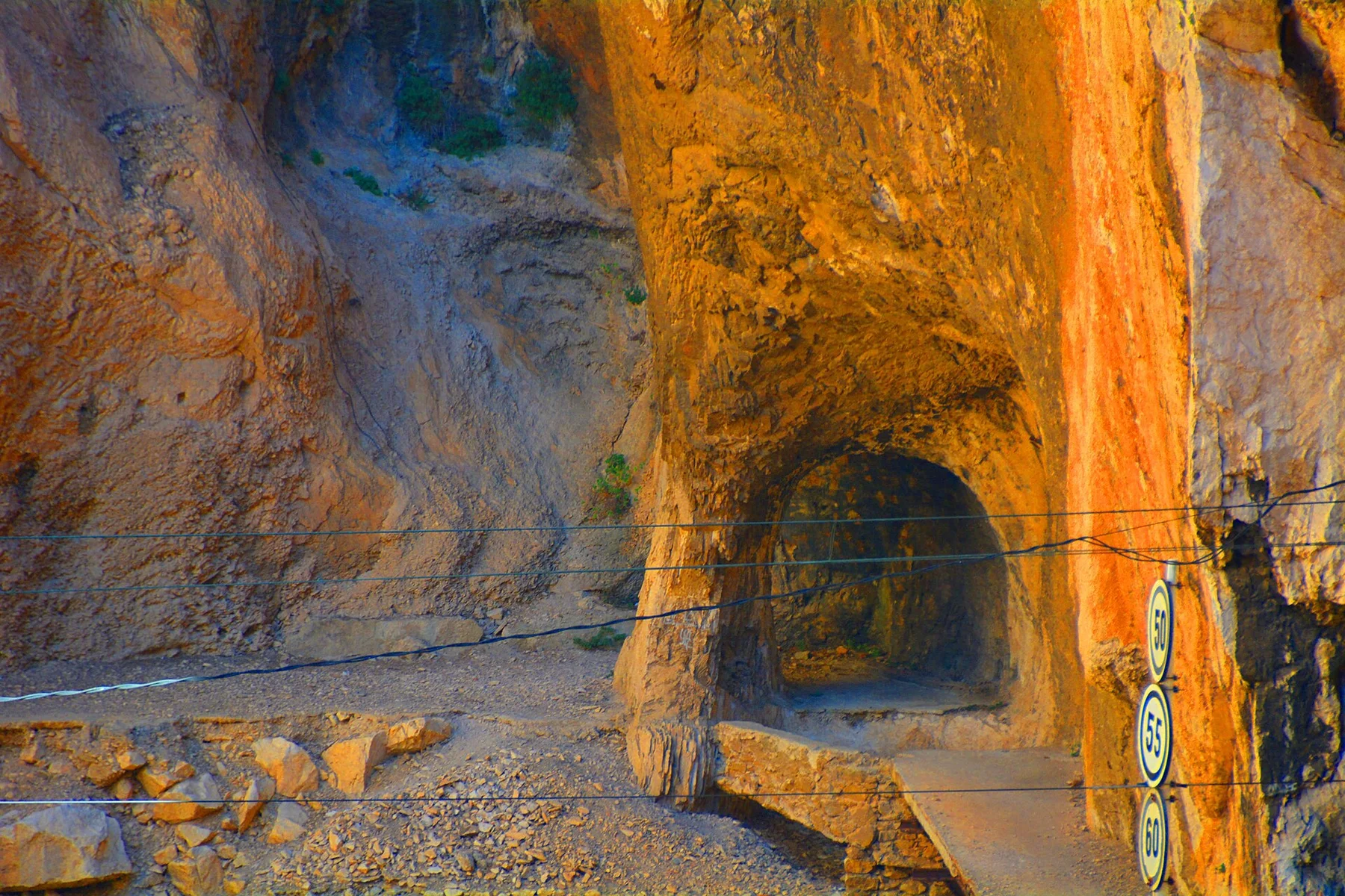
A restored boardwalk follows the walls of the Gaitanes Gorge above a narrow river and railway corridor.
Explore this place