Sniezka / Snezka
The highest summit rises above the plateau and remains a major weather landmark.
Start early and make this the first exposed stop of the day. Keep a lower route ready if cloud, heat, wind or trail conditions change during May-Oct.
Glacial cirques, peat plateaus, waterfalls and mountain towns define the highest part of the Sudetes along the Polish-Czech border.
The highest summit rises above the plateau and remains a major weather landmark.
Start early and make this the first exposed stop of the day. Keep a lower route ready if cloud, heat, wind or trail conditions change during May-Oct.
The details that make Karkonosze different.
The highest summit rises above the plateau and remains a major weather landmark.
Steep amphitheatres and mountain lakes preserve the clearest evidence of past glaciation.
A continuous walking line links Polish and Czech valleys without losing the sense of a shared landscape.
Glacial cirques, peat plateaus, waterfalls and mountain towns define the highest part of the Sudetes along the Polish-Czech border. The view is only the surface of a longer story of formation, use and change.
Karkonosze form a compact highland on the Polish-Czech border, rising abruptly above densely settled foothills. The ridge is not alpine in scale, but glacial landforms, exposed plateaus and rapid weather changes create a distinctly high-mountain atmosphere.
Many visits to Karkonosze begin with the experience described as “Sniezka / Snezka”. The more revealing question is why it exists here, how people used the surrounding ground and what remains visible from earlier phases. The highest summit rises above the plateau and remains a major weather landmark.
Continue to practical planningAt Karkonosze, the physical story begins with the structure of the ground. Rounded summits are cut by steep cirques and gullies, while broad upland surfaces hold peat bogs and dwarf vegetation. Waterfalls descend toward forested valleys where historic resort towns and mountain huts concentrate access.
Relief controls far more than the view. At Karkonosze, “Sniezka / Snezka” reveals how elevation divides vegetation, weather, water and the routes available to people. The highest summit rises above the plateau and remains a major weather landmark.
At Karkonosze, daily life gives the terrain a historical meaning that a viewpoint alone cannot provide. Tourism developed early on both sides of the range, leaving a network of paths, shelters and mountain towns with different Polish and Czech traditions. The border itself now functions less as a barrier and more as a continuous ridge route.
The role of “Glacial cirques” is especially revealing at Karkonosze. Steep amphitheatres and mountain lakes preserve the clearest evidence of past glaciation. In the history of Karkonosze, it connects the wider regional context with a specific place that can still be examined today.
The decisive modern change at Karkonosze was access. At Karkonosze, transport and visitor infrastructure made the landscape easier to reach while concentrating pressure at the few points where roads, boats or trails enter it. Karkonosze should therefore be read as an evolving cultural landscape rather than a timeless scene.
Start with the feature “Sniezka / Snezka”, because it condenses a much larger part of the story of Karkonosze. The highest summit rises above the plateau and remains a major weather landmark. Within Karkonosze, it is both an attraction and a record of the processes described above.
At Karkonosze, the feature “Glacial cirques” is best understood as part of the surrounding system rather than an isolated stop. Steep amphitheatres and mountain lakes preserve the clearest evidence of past glaciation. At Karkonosze, it gives a concrete reference point for reading change rather than merely collecting viewpoints.
At Karkonosze, the feature “Cross-border ridge” is best understood as part of the surrounding system rather than an isolated stop. A continuous walking line links Polish and Czech valleys without losing the sense of a shared landscape. For Karkonosze, that relationship is more informative than treating the feature only as a photograph or checklist item.
Karkonosze changes through the year because weather and biological cycles rearrange what can be seen and used. Snow can linger well into spring on exposed ground. Summer provides the easiest access to the complete ridge network, while September and early October combine clearer air with lower visitor pressure.
For Karkonosze, the main seasonal constraint is: the strongest planning window is May-Oct. For Karkonosze, outside it, check weather, daylight, road or ferry schedules and seasonal closures before committing to a fixed route.
For Karkonosze, one practical detail matters: cloud, wind and trail conditions can change quickly. For Karkonosze, put the highest or most exposed stop first and keep a lower-level alternative.
Placed within its wider geography, Karkonosze is not an isolated exception. For Karkonosze, the wider context shows that, the range connects to the wider Sudetes, including the Jizera Mountains and Lower Silesian cultural landscapes. For Karkonosze, its compact cross-border geography makes it especially useful for understanding Central Europe’s mountain settlement patterns.
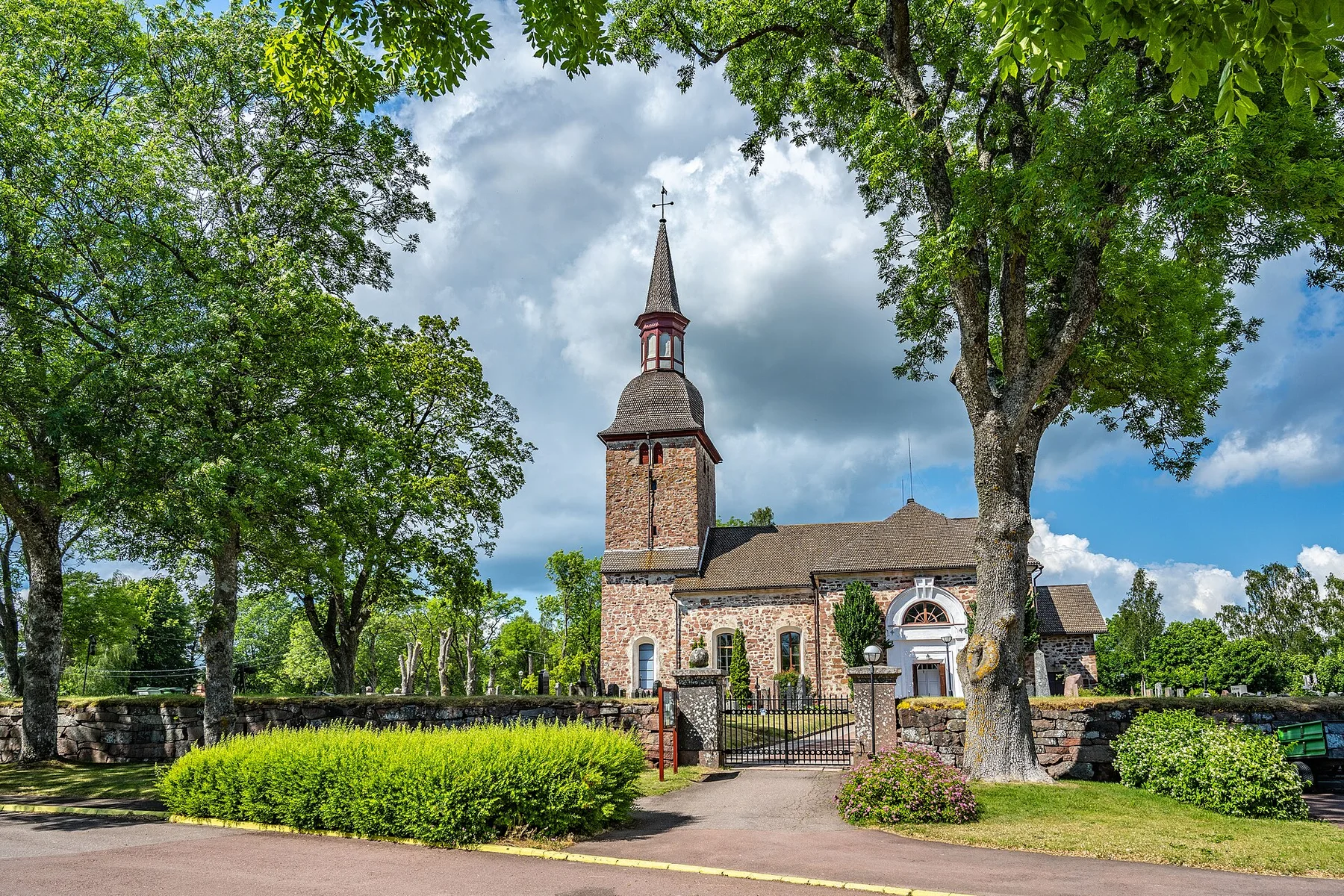
A low Baltic archipelago of red granite, pine forest, ferries and small maritime communities spread between Finland and Sweden.
Explore this place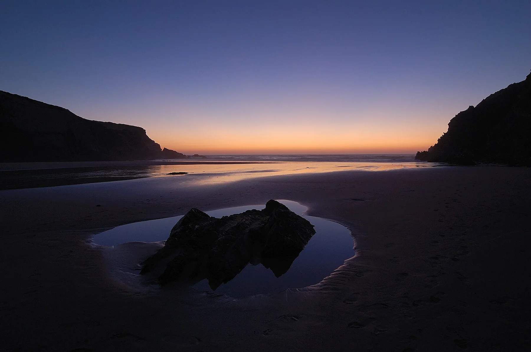
A broad Atlantic edge of cliffs, dunes, fishing settlements and long beaches, with inland fields and cork landscapes close behind the coast.
Explore this place
A loop descends from a medieval hill village to metal walkways fixed above the Vero River.
Explore this place