Mount Roraima
A massive tepui defines the eastern edge of the plateau.
Start early and make this the first exposed stop of the day. Keep a lower route ready if cloud, heat, wind or trail conditions change during Dec-Apr.
Open savanna, waterfalls and table-top mountains spread across the southeastern Guiana Highlands.
A massive tepui defines the eastern edge of the plateau.
Start early and make this the first exposed stop of the day. Keep a lower route ready if cloud, heat, wind or trail conditions change during Dec-Apr.
The details that make Gran Sabana different.
A massive tepui defines the eastern edge of the plateau.
A stream flows over polished red jasper near the main road.
Communities and cultural knowledge give context to the savanna and tepuis.
Open savanna, waterfalls and table-top mountains spread across the southeastern Guiana Highlands. The view is only the surface of a longer story of formation, use and change.
Gran Sabana occupies a high plateau within Canaima National Park. Open savanna, waterfalls and table-top mountains spread across the southeastern Guiana Highlands. The Gran Sabana forms part of the larger Guiana Shield extending into Guyana and Brazil, one of the planet’s oldest geological regions.
Visitors often encounter Gran Sabana through the idea of “Mount Roraima”, but the destination is more than that single scene. Its landscape carries evidence of work, movement, adaptation and environmental change. A massive tepui defines the eastern edge of the plateau.
Continue to practical planningAt Gran Sabana, the form of the landscape explains many of the choices that came later. Ancient sandstone tepuis rise abruptly above grassland, forest islands and rivers that repeatedly cross the plateau.
Relief controls far more than the view. At Gran Sabana, “Mount Roraima” reveals how elevation divides vegetation, weather, water and the routes available to people. A massive tepui defines the eastern edge of the plateau.
At Gran Sabana, human history is written into settlement and land use rather than separated from the scenery. The landscape lies within Pemon territory, where communities, language and place knowledge are central to understanding the region.
The role of “Quebrada de Jaspe” is especially revealing at Gran Sabana. A stream flows over polished red jasper near the main road. In the history of Gran Sabana, it connects the wider regional context with a specific place that can still be examined today.
Formal protection changed how Gran Sabana was described and managed. At Gran Sabana, new boundaries, visitor rules and conservation priorities created a public identity that still has to coexist with settlements, customary use and economic pressures. Gran Sabana should therefore be read as an evolving cultural landscape rather than a timeless scene.
At Gran Sabana, the feature “Mount Roraima” is best understood as part of the surrounding system rather than an isolated stop. A massive tepui defines the eastern edge of the plateau. At Gran Sabana, the detail links local scale with the wider regional pattern.
Look closely at the feature “Quebrada de Jaspe” in Gran Sabana; it carries information that a panoramic view can miss. A stream flows over polished red jasper near the main road. At Gran Sabana, the detail links local scale with the wider regional pattern.
At Gran Sabana, the feature “Pemon landscape” is best understood as part of the surrounding system rather than an isolated stop. Communities and cultural knowledge give context to the savanna and tepuis. Within Gran Sabana, it is both an attraction and a record of the processes described above.
At Gran Sabana, season is part of the landscape history, not merely a planning detail. The relatively drier months can simplify road travel, though waterfalls and weather remain variable; current access and safety information is essential.
For Gran Sabana, the main seasonal constraint is: the strongest planning window is Dec-Apr. For Gran Sabana, outside it, check weather, daylight, road or ferry schedules and seasonal closures before committing to a fixed route.
For Gran Sabana, one practical detail matters: cloud, wind and trail conditions can change quickly. For Gran Sabana, put the highest or most exposed stop first and keep a lower-level alternative.
Placed within its wider geography, Gran Sabana is not an isolated exception. The Gran Sabana forms part of the larger Guiana Shield extending into Guyana and Brazil, one of the planet’s oldest geological regions.

Limestone canyons, waterfalls and a long shipwreck coast define a large island in the Gulf of St Lawrence.
Explore this place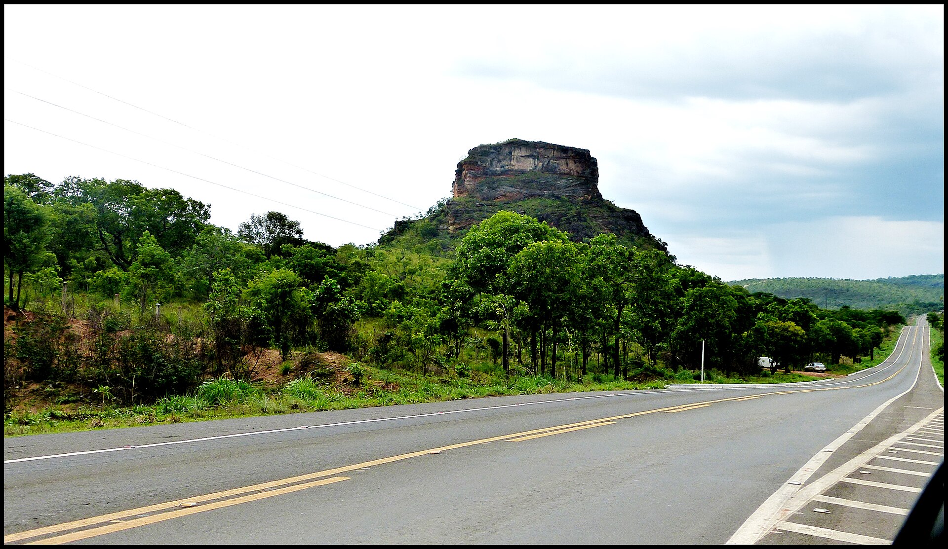
A cerrado landscape of flat-topped sandstone hills, clear rivers, waterfalls and palm-lined valleys in Brazil's southern Maranhao interior.
Explore this place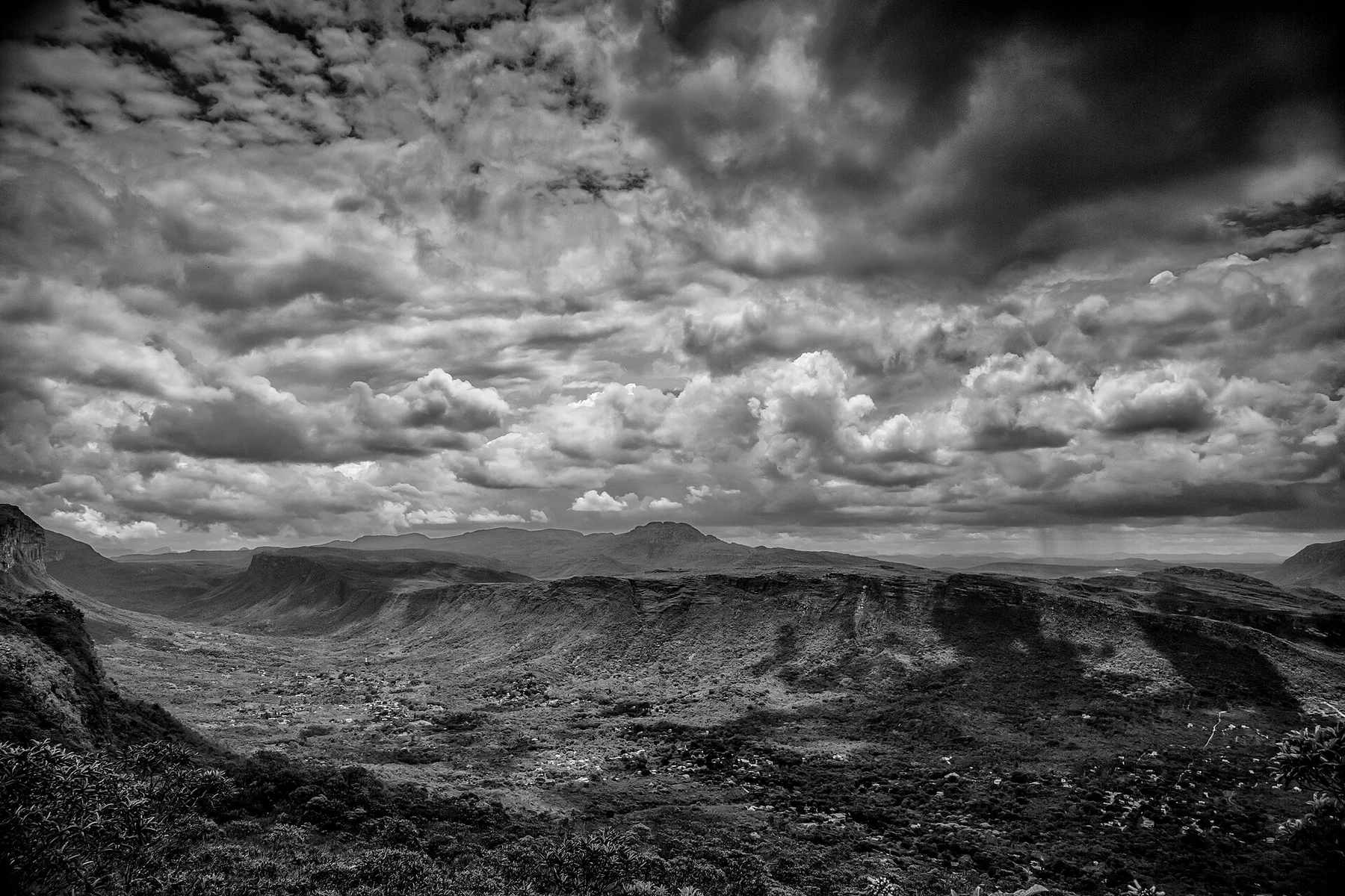
Table mountains, deep valleys, waterfalls, caves and former diamond towns form a broad highland in the interior of Bahia.
Explore this place