At Gashaka-Gumti, the feature “Nigeria's highest terrain” is best understood as part of the surrounding system rather than an isolated stop. The park reaches the Chappal Waddi area and high border mountains far removed from common images of Nigerian landscape. Its position and condition at Gashaka-Gumti connect physical history with the way people use the place now.
Start with the feature “Chimpanzees in a broad mosaic”, because it condenses a much larger part of the story of Gashaka-Gumti. Forest populations live within a park that also includes savanna, gallery forest and mountain grassland. At Gashaka-Gumti, the detail links local scale with the wider regional pattern.
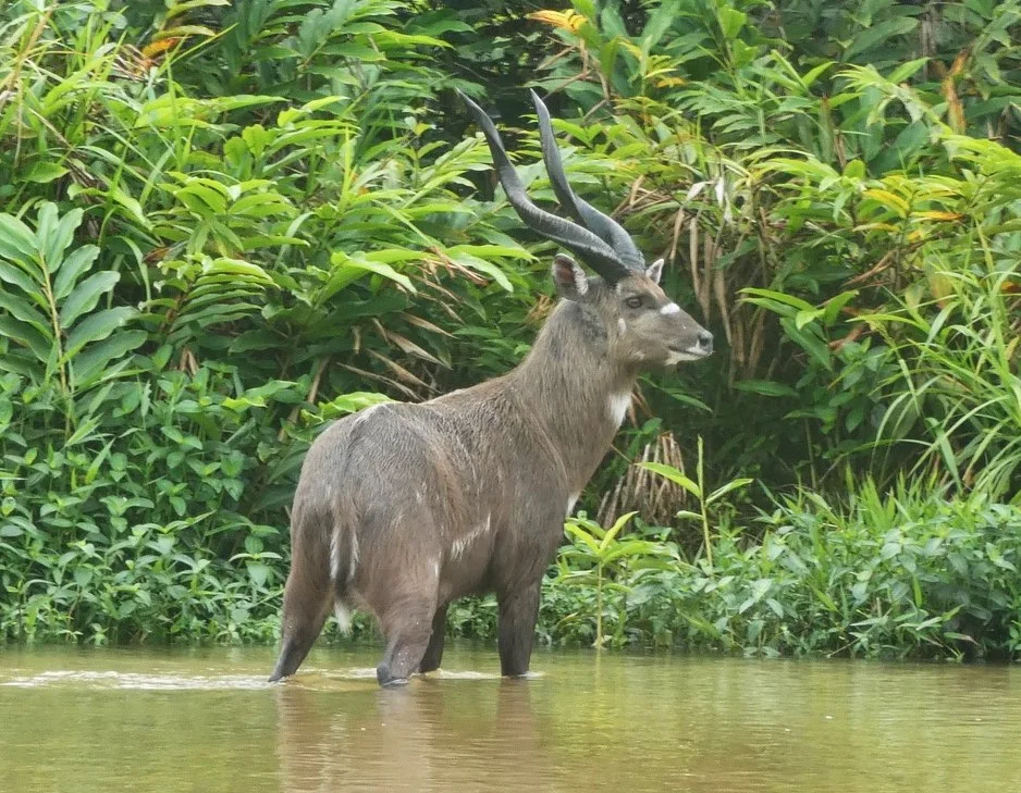
At Gashaka-Gumti, the feature “Rivers as corridors” provides a precise clue to how the landscape works. The Taraba and other rivers organise wildlife movement, fishing and access through otherwise difficult terrain. For Gashaka-Gumti, that relationship is more informative than treating the feature only as a photograph or checklist item.