Quartzite summits
Hard pale rock forms distinctive ridges and steep mountain walls.
Start early and make this the first exposed stop of the day. Keep a lower route ready if cloud, heat, wind or trail conditions change during Apr-Oct.
Quartzite peaks, deep valleys, waterfalls and transboundary communities define a rugged section of southern Africa's Eastern Highlands.
Hard pale rock forms distinctive ridges and steep mountain walls.
Start early and make this the first exposed stop of the day. Keep a lower route ready if cloud, heat, wind or trail conditions change during Apr-Oct.
The details that make Chimanimani Mountains different.
Hard pale rock forms distinctive ridges and steep mountain walls.
Communities and ecosystems continue across the Zimbabwe-Mozambique border.
Streams descend rapidly from the highlands and sustain lower settlements and farms.
Quartzite peaks, deep valleys, waterfalls and transboundary communities define a rugged section of southern Africa's Eastern Highlands. The deeper story links its visible features with the people and changes behind them.
The Chimanimani Mountains straddle the border between Zimbabwe and Mozambique as a rugged range of quartzite peaks, valleys and high grassland. Their broken terrain supports exceptional plant diversity and creates a natural corridor between two national landscapes. Settlements on both sides depend on the mountains for water, agriculture and identity.
Many visits to Chimanimani Mountains begin with the experience described as “Quartzite summits”. The more revealing question is why it exists here, how people used the surrounding ground and what remains visible from earlier phases. Hard pale rock forms distinctive ridges and steep mountain walls.
Continue to practical planningBefore roads, settlements or protected-area boundaries, the terrain of Chimanimani Mountains set the basic terms. Pale quartzite ridges rise above forested gullies and clear streams. Waterfalls, caves and narrow passes give the range a complex internal geography, while lower slopes transition into cultivated valleys. Cyclones and intense rainfall periodically reshape rivers, roads and communities, demonstrating the range's exposure to regional climate extremes.
The skyline is only the upper edge of a larger system. At Chimanimani Mountains, “Quartzite summits” connects the high ground with valleys, settlement and the movement of water below. Hard pale rock forms distinctive ridges and steep mountain walls.
The cultural layer of Chimanimani Mountains is easiest to read in homes, fields, paths and local institutions. Local communities farm in valleys and use forest and mountain resources under different legal systems on either side of the border. Sacred places, historical routes and memories of conflict add cultural depth. Conservation initiatives increasingly recognise that ecosystems and livelihoods must be managed across the international boundary.
The role of “Transboundary valleys” is especially revealing at Chimanimani Mountains. Communities and ecosystems continue across the Zimbabwe-Mozambique border. In the history of Chimanimani Mountains, it connects the wider regional context with a specific place that can still be examined today.
Formal protection changed how Chimanimani Mountains was described and managed. At Chimanimani Mountains, new boundaries, visitor rules and conservation priorities created a public identity that still has to coexist with settlements, customary use and economic pressures. At Chimanimani Mountains, the consequences are clearest where traditional use, protection and tourism occupy the same ground.
Start with the feature “Quartzite summits”, because it condenses a much larger part of the story of Chimanimani Mountains. Hard pale rock forms distinctive ridges and steep mountain walls. At Chimanimani Mountains, the detail links local scale with the wider regional pattern.
At Chimanimani Mountains, the significance of the feature “Transboundary valleys” goes beyond its visual impact. Communities and ecosystems continue across the Zimbabwe-Mozambique border. Within Chimanimani Mountains, the feature explains why this destination differs from nearby landscapes.
At Chimanimani Mountains, the feature “Waterfall networks” is best understood as part of the surrounding system rather than an isolated stop. Streams descend rapidly from the highlands and sustain lower settlements and farms. Within Chimanimani Mountains, the feature explains why this destination differs from nearby landscapes.
Chimanimani Mountains changes through the year because weather and biological cycles rearrange what can be seen and used. The dry months from April to October provide the most stable walking conditions and clearer river crossings. Summer rains bring powerful waterfalls and green vegetation but also storms, flooding and difficult access. Conditions can vary sharply between exposed ridges and sheltered valleys.
For Chimanimani Mountains, the main seasonal constraint is: the strongest planning window is Apr-Oct. For Chimanimani Mountains, outside it, check weather, daylight, road or ferry schedules and seasonal closures before committing to a fixed route.
For Chimanimani Mountains, one practical detail matters: cloud, wind and trail conditions can change quickly. For Chimanimani Mountains, put the highest or most exposed stop first and keep a lower-level alternative.
Placed within its wider geography, Chimanimani Mountains is not an isolated exception. For Chimanimani Mountains, the wider context shows that, chimanimani belongs to the Eastern Highlands chain that continues north toward Nyanga and south through Mozambique. For Chimanimani Mountains, it also connects ecologically with lowland forests, making the mountains important for water, species movement and climate resilience across a much larger region.
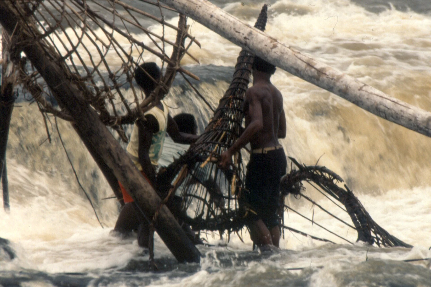
Seven major cataracts interrupt the Lualaba River near Kisangani and support a distinctive local fishing tradition.
Explore this place
A cool West African highland of plateaus, waterfalls, cultivated valleys and villages at the headwaters of major regional rivers.
Explore this place
Dense equatorial forest is broken by some of central Africa's most powerful waterfalls.
Explore this place