Te Whanga Lagoon
A vast shallow lagoon organises much of the main island's geography and birdlife.
Plan the least frequent boat, ferry or exposed coastal section first. Use early or late light and keep a weather alternative during Nov-Apr.
A remote Pacific archipelago of lagoons, peatland, wind-shaped coast and Moriori and Maori history far east of mainland New Zealand.
A vast shallow lagoon organises much of the main island's geography and birdlife.
Plan the least frequent boat, ferry or exposed coastal section first. Use early or late light and keep a weather alternative during Nov-Apr.
The details that make Chatham Islands different.
A vast shallow lagoon organises much of the main island's geography and birdlife.
Protected sites and living heritage preserve a history central to the identity of the archipelago.
A smaller inhabited island adds steep coast, conservation areas and a further level of remoteness.
A remote Pacific archipelago of lagoons, peatland, wind-shaped coast and Moriori and Maori history far east of mainland New Zealand. The view is only the surface of a longer story of formation, use and change.
The Chatham Islands lie hundreds of kilometres east of mainland New Zealand, with Chatham Island and Pitt Island forming the principal inhabited land. Large lagoons, low rolling ground, exposed cliffs and peatland shape the archipelago. Isolation has produced distinctive ecosystems, livelihoods and histories that differ markedly from the mainland.
The strongest visual shorthand for Chatham Islands is the experience described as “Te Whanga Lagoon”. Behind it lies a more complex relationship between physical processes, settlement and the modern idea of the place as a destination. A vast shallow lagoon organises much of the main island's geography and birdlife.
Continue to practical planningUnderstanding Chatham Islands starts below the visible surface. Te Whanga Lagoon dominates the centre of Chatham Island, while the coast ranges from broad beaches to dark volcanic cliffs. Wind shapes trees and low vegetation, and weather can make even modest distances feel exposed. Pitt Island adds steeper ground and another layer of remoteness beyond the main settlement network.
Because land is limited, every ridge, bay and passage acquires practical importance. At Chatham Islands, “Te Whanga Lagoon” is where that compressed geography becomes easiest to read. A vast shallow lagoon organises much of the main island's geography and birdlife.
At Chatham Islands, human history is written into settlement and land use rather than separated from the scenery. Moriori heritage is fundamental to the islands, alongside Maori and later settler histories. Fishing, farming, conservation and public services support a small population spread across wide distances. Access to cultural sites and private land depends on local permission and established guides.
At Chatham Islands, the feature described as “Moriori cultural landscape” offers a second line of evidence. Protected sites and living heritage preserve a history central to the identity of the archipelago. Within Chatham Islands, it shows how local knowledge and practical use became embedded in the landscape.
Formal protection changed how Chatham Islands was described and managed. At Chatham Islands, new boundaries, visitor rules and conservation priorities created a public identity that still has to coexist with settlements, customary use and economic pressures. At Chatham Islands, the current visitor experience is the newest layer rather than the whole history.
At Chatham Islands, the feature “Te Whanga Lagoon” provides a precise clue to how the landscape works. A vast shallow lagoon organises much of the main island's geography and birdlife. Its position and condition at Chatham Islands connect physical history with the way people use the place now.
At Chatham Islands, the feature “Moriori cultural landscape” is best understood as part of the surrounding system rather than an isolated stop. Protected sites and living heritage preserve a history central to the identity of the archipelago. Within Chatham Islands, the feature explains why this destination differs from nearby landscapes.
Start with the feature “Pitt Island”, because it condenses a much larger part of the story of Chatham Islands. A smaller inhabited island adds steep coast, conservation areas and a further level of remoteness. At Chatham Islands, the detail links local scale with the wider regional pattern.
Chatham Islands changes through the year because weather and biological cycles rearrange what can be seen and used. Summer provides the longest daylight and generally the broadest range of flights and activities, though wind and rain remain possible. Winter is cooler, wetter and quieter. Limited transport capacity means planning well ahead is necessary in every season.
For Chatham Islands, the main seasonal constraint is: the strongest planning window is Nov-Apr. For Chatham Islands, outside it, check weather, daylight, road or ferry schedules and seasonal closures before committing to a fixed route.
For Chatham Islands, one practical detail matters: distances, fuel, food and mobile coverage can be less predictable than the map suggests. For Chatham Islands, carry offline maps and keep a margin in the schedule.
Placed within its wider geography, Chatham Islands is not an isolated exception. For Chatham Islands, the wider context shows that, the Chathams are not an extension of a typical New Zealand road trip. For Chatham Islands, their value lies in the combination of isolation, layered cultural history and ecosystems found nowhere else, requiring more time and local coordination than their physical size suggests.
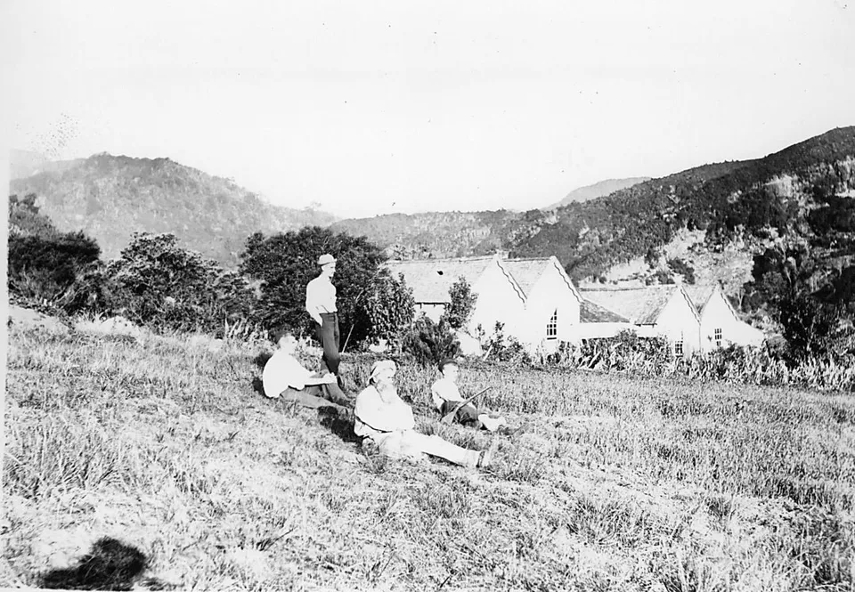
Forested ridges, hot springs, surf beaches and off-grid communities occupy the outer edge of New Zealand's Hauraki Gulf.
Explore this place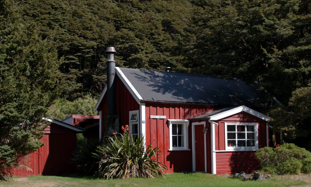
A high road and rail crossing links wet western forest with drier eastern valleys through the heart of New Zealand’s Southern Alps.
Explore this place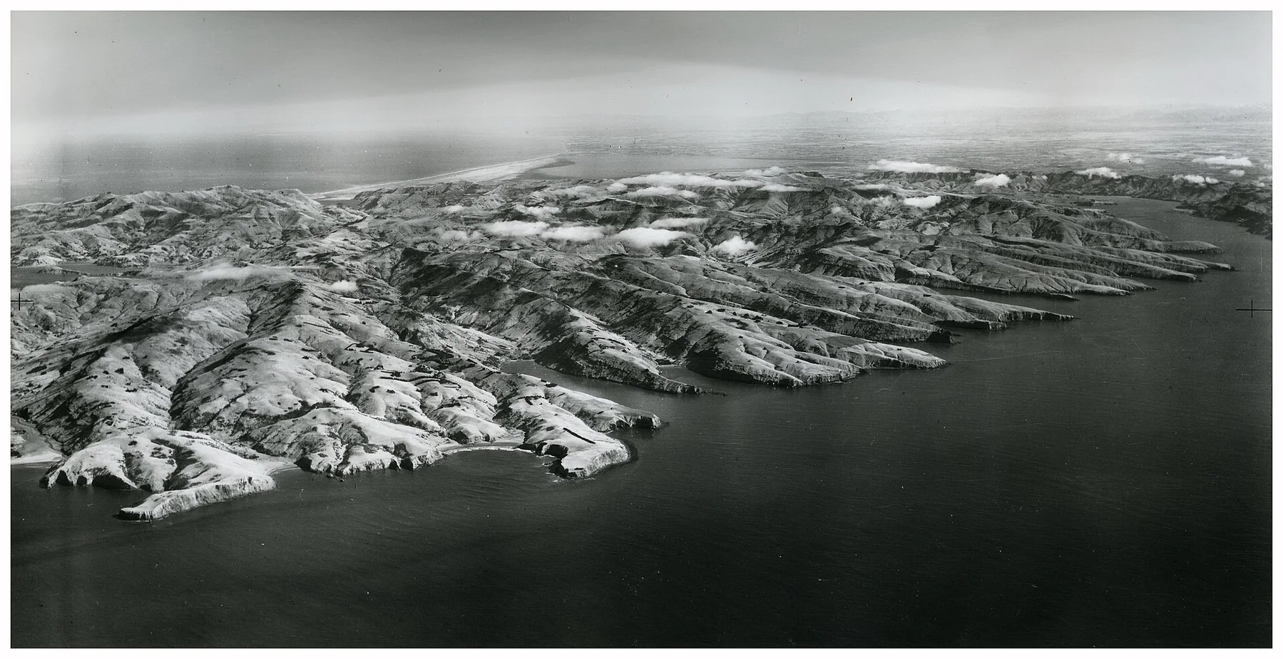
Two large volcanic harbours, steep farmed ridges and small bays form a deeply indented peninsula beside Christchurch.
Explore this place