Tropical river systems
Large rivers structure access, habitat and seasonal movement across the peninsula.
Plan the least frequent boat, ferry or exposed coastal section first. Use early or late light and keep a weather alternative during May-Oct.
Savanna, rainforest, wetlands and remote Indigenous communities extend across Australia's great tropical peninsula toward Torres Strait.
Large rivers structure access, habitat and seasonal movement across the peninsula.
Plan the least frequent boat, ferry or exposed coastal section first. Use early or late light and keep a weather alternative during May-Oct.
The details that make Cape York Peninsula different.
Large rivers structure access, habitat and seasonal movement across the peninsula.
Ranger programs and Traditional Owner governance are fundamental to conservation.
The meeting of peninsula, islands and Torres Strait gives the region a transregional identity.
Savanna, rainforest, wetlands and remote Indigenous communities extend across Australia's great tropical peninsula toward Torres Strait. Its character becomes clearer when geology, settlement and modern protection are considered together.
Cape York Peninsula reaches north from Queensland toward Torres Strait as one of Australia's largest relatively intact tropical landscapes. Savanna woodland, rainforest, wetlands, dune fields and long rivers are distributed across an area with few paved roads. Indigenous communities and ranger programs are central to the peninsula's cultural and environmental continuity.
The strongest visual shorthand for Cape York Peninsula is the experience described as “Tropical river systems”. Behind it lies a more complex relationship between physical processes, settlement and the modern idea of the place as a destination. Large rivers structure access, habitat and seasonal movement across the peninsula.
Continue to practical planningUnderstanding Cape York Peninsula starts below the visible surface. The western side opens toward broad Gulf of Carpentaria wetlands, while the east contains rainforest, escarpment and Pacific coast. Major rivers create difficult seasonal crossings and support rich aquatic habitats. Fire, monsoon rain and dry-season water availability shape ecosystems across the peninsula.
On an island, coast, altitude and exposure work together. At Cape York Peninsula, the feature described as “Tropical river systems” shows how a short distance can separate sheltered ground from a very different ocean-facing environment. Large rivers structure access, habitat and seasonal movement across the peninsula.
The cultural layer of Cape York Peninsula is easiest to read in homes, fields, paths and local institutions. Aboriginal peoples maintain strong relationships with country, language and cultural sites throughout Cape York. Towns, cattle stations, mining areas and remote communities form a sparse settlement network. Travel access frequently depends on permissions, road conditions and respect for local governance rather than the assumption of unrestricted open land.
At Cape York Peninsula, the feature described as “Indigenous-managed country” offers a second line of evidence. Ranger programs and Traditional Owner governance are fundamental to conservation. Within Cape York Peninsula, it shows how local knowledge and practical use became embedded in the landscape.
The decisive modern change at Cape York Peninsula was access. At Cape York Peninsula, transport and visitor infrastructure made the landscape easier to reach while concentrating pressure at the few points where roads, boats or trails enter it. At Cape York Peninsula, that transition remains visible in the contrast between older working features and visitor infrastructure.
Start with the feature “Tropical river systems”, because it condenses a much larger part of the story of Cape York Peninsula. Large rivers structure access, habitat and seasonal movement across the peninsula. Within Cape York Peninsula, the feature explains why this destination differs from nearby landscapes.
Start with the feature “Indigenous-managed country”, because it condenses a much larger part of the story of Cape York Peninsula. Ranger programs and Traditional Owner governance are fundamental to conservation. Its position and condition at Cape York Peninsula connect physical history with the way people use the place now.
At Cape York Peninsula, the feature “Northern coastal edge” is best understood as part of the surrounding system rather than an isolated stop. The meeting of peninsula, islands and Torres Strait gives the region a transregional identity. Its position and condition at Cape York Peninsula connect physical history with the way people use the place now.
At Cape York Peninsula, light, water and temperature reveal different structures at different times of year. The dry season from roughly May to October is the principal overland travel period. During the wet season, monsoon rain floods rivers and isolates large areas. Even in the dry months, corrugation, dust and remaining water crossings make distance more demanding than it appears on maps.
For Cape York Peninsula, the main seasonal constraint is: the strongest planning window is May-Oct. For Cape York Peninsula, outside it, check weather, daylight, road or ferry schedules and seasonal closures before committing to a fixed route.
For Cape York Peninsula, one practical detail matters: distances, fuel, food and mobile coverage can be less predictable than the map suggests. For Cape York Peninsula, carry offline maps and keep a margin in the schedule.
Placed within its wider geography, Cape York Peninsula is not an isolated exception. For Cape York Peninsula, the wider context shows that, cape York connects the Australian mainland with Torres Strait and the ecological worlds of New Guinea. For Cape York Peninsula, its wetlands, migratory routes and cultural networks demonstrate that the peninsula is a bridge between regions, not merely the final point of a northbound road.
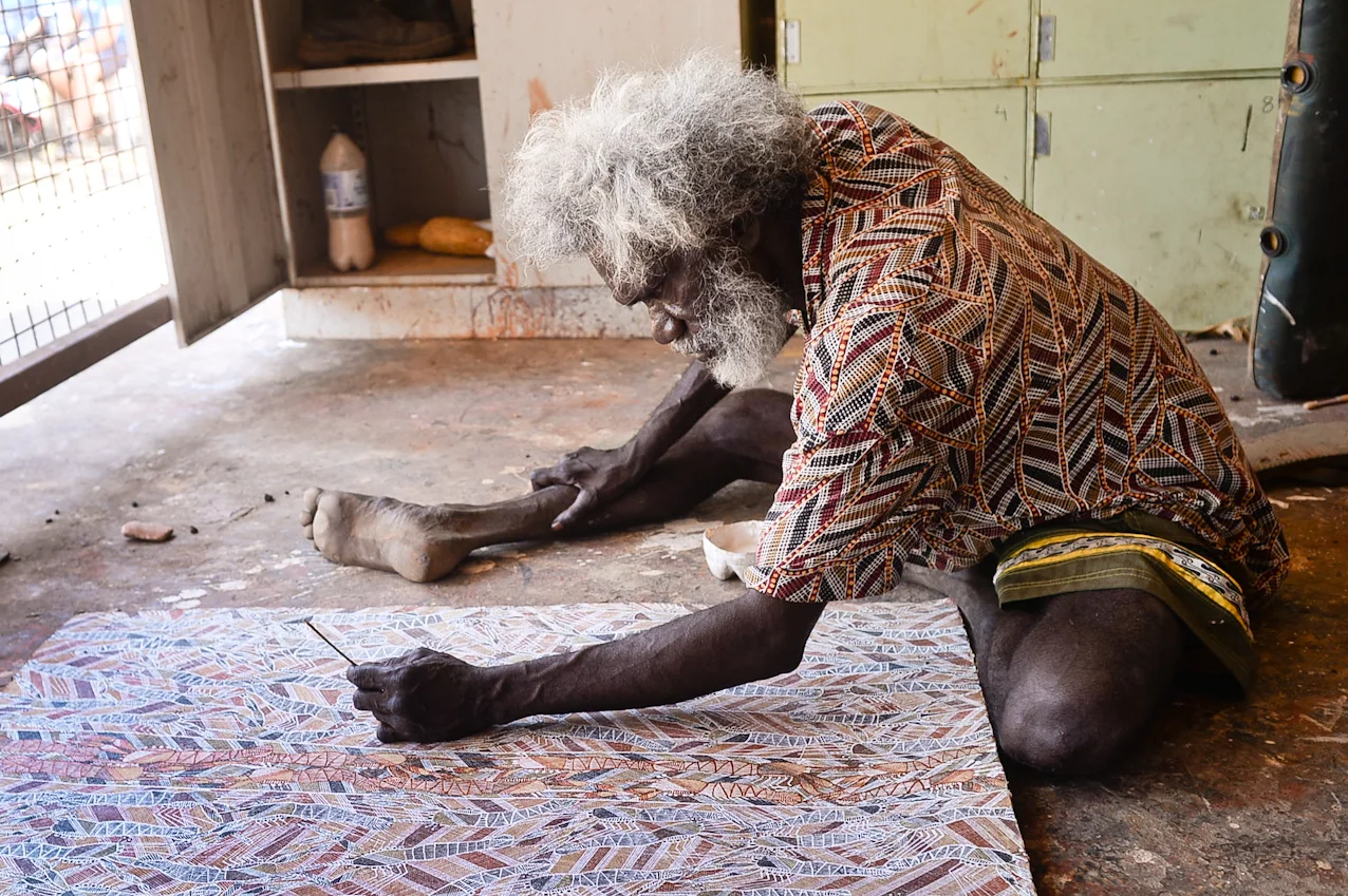
Escarpments, wetlands and remote coasts form a vast Aboriginal cultural landscape in northern Australia.
Explore this place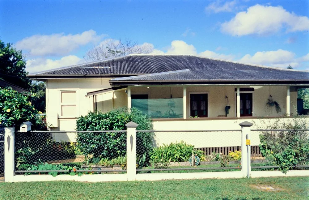
Cool volcanic uplands, rainforest, crater lakes, waterfalls and farming towns rise behind tropical north Queensland coast.
Explore this place
White-sand beaches, heathland, forest and clear bays form an Aboriginal-managed national park on the New South Wales south coast.
Explore this place