Baviaans pass roads
Mountain roads and river crossings turn movement into the defining experience.
Start early and make this the first exposed stop of the day. Keep a lower route ready if cloud, heat, wind or trail conditions change during Apr-Oct.
Folded mountains, dry valleys, river crossings and isolated farms create a long wilderness corridor through South Africa’s Eastern Cape.
Mountain roads and river crossings turn movement into the defining experience.
Start early and make this the first exposed stop of the day. Keep a lower route ready if cloud, heat, wind or trail conditions change during Apr-Oct.
The details that make Baviaanskloof different.
Mountain roads and river crossings turn movement into the defining experience.
Parallel ridges create a sequence of enclosed valleys and exposed passes.
Working landscapes and protected areas remain closely interwoven.
Folded mountains, dry valleys, river crossings and isolated farms create a long wilderness corridor through South Africa’s Eastern Cape. This account follows the forces, communities and decisions that made the present landscape.
Baviaanskloof is a long valley and protected mountain system between the interior Karoo and the Eastern Cape coast. Access follows a rough road through passes, farms and river crossings, making the journey itself central to how the landscape is experienced.
The familiar invitation at Baviaanskloof is “Baviaans pass roads”, yet that image makes more sense when it is connected to the landform, the local economy and the changes that determined access. Mountain roads and river crossings turn movement into the defining experience.
Continue to practical planningBefore roads, settlements or protected-area boundaries, the terrain of Baviaanskloof set the basic terms. Folded sandstone ranges create narrow gorges, open basins and sudden changes between dry scrub and greener riverine vegetation. Elevation and exposure produce surprisingly varied habitats within the same corridor.
Altitude turns distance into effort and creates abrupt ecological boundaries. At Baviaanskloof, “Baviaans pass roads” provides a useful reference point for understanding that vertical structure. Mountain roads and river crossings turn movement into the defining experience.
At Baviaanskloof, human history is written into settlement and land use rather than separated from the scenery. Historic farms and small settlements remain within and around the protected area, reflecting a long relationship between pastoral land use and difficult transport. Tourism is low-density and often dependent on locally run accommodation and 4x4 access.
At Baviaanskloof, “Folded sandstone ranges” should not be treated as a decorative detail. Parallel ridges create a sequence of enclosed valleys and exposed passes. The feature records how construction, movement or livelihood adapted to local conditions at Baviaanskloof.
Formal protection changed how Baviaanskloof was described and managed. At Baviaanskloof, new boundaries, visitor rules and conservation priorities created a public identity that still has to coexist with settlements, customary use and economic pressures. At Baviaanskloof, that transition remains visible in the contrast between older working features and visitor infrastructure.
At Baviaanskloof, the feature “Baviaans pass roads” provides a precise clue to how the landscape works. Mountain roads and river crossings turn movement into the defining experience. At Baviaanskloof, the detail links local scale with the wider regional pattern.
At Baviaanskloof, the feature “Folded sandstone ranges” is one of the most useful pieces of visible evidence. Parallel ridges create a sequence of enclosed valleys and exposed passes. At Baviaanskloof, the detail links local scale with the wider regional pattern.
At Baviaanskloof, the feature “Farm and wilderness mosaic” provides a precise clue to how the landscape works. Working landscapes and protected areas remain closely interwoven. At Baviaanskloof, it gives a concrete reference point for reading change rather than merely collecting viewpoints.
At Baviaanskloof, season is part of the landscape history, not merely a planning detail. Autumn through spring provides cooler conditions for driving and walking. Summer can be very hot in the valleys, while heavy rain can temporarily affect river crossings and road conditions.
For Baviaanskloof, the main seasonal constraint is: the strongest planning window is Apr-Oct. For Baviaanskloof, outside it, check weather, daylight, road or ferry schedules and seasonal closures before committing to a fixed route.
For Baviaanskloof, one practical detail matters: distances, fuel, food and mobile coverage can be less predictable than the map suggests. For Baviaanskloof, carry offline maps and keep a margin in the schedule.
Placed within its wider geography, Baviaanskloof is not an isolated exception. Baviaanskloof links ecologically with the Cape Floral Region and geographically with the Karoo interior. For Baviaanskloof, nearby towns such as Willowmore and Patensie frame opposite ends of a route that feels much longer than its map distance suggests.
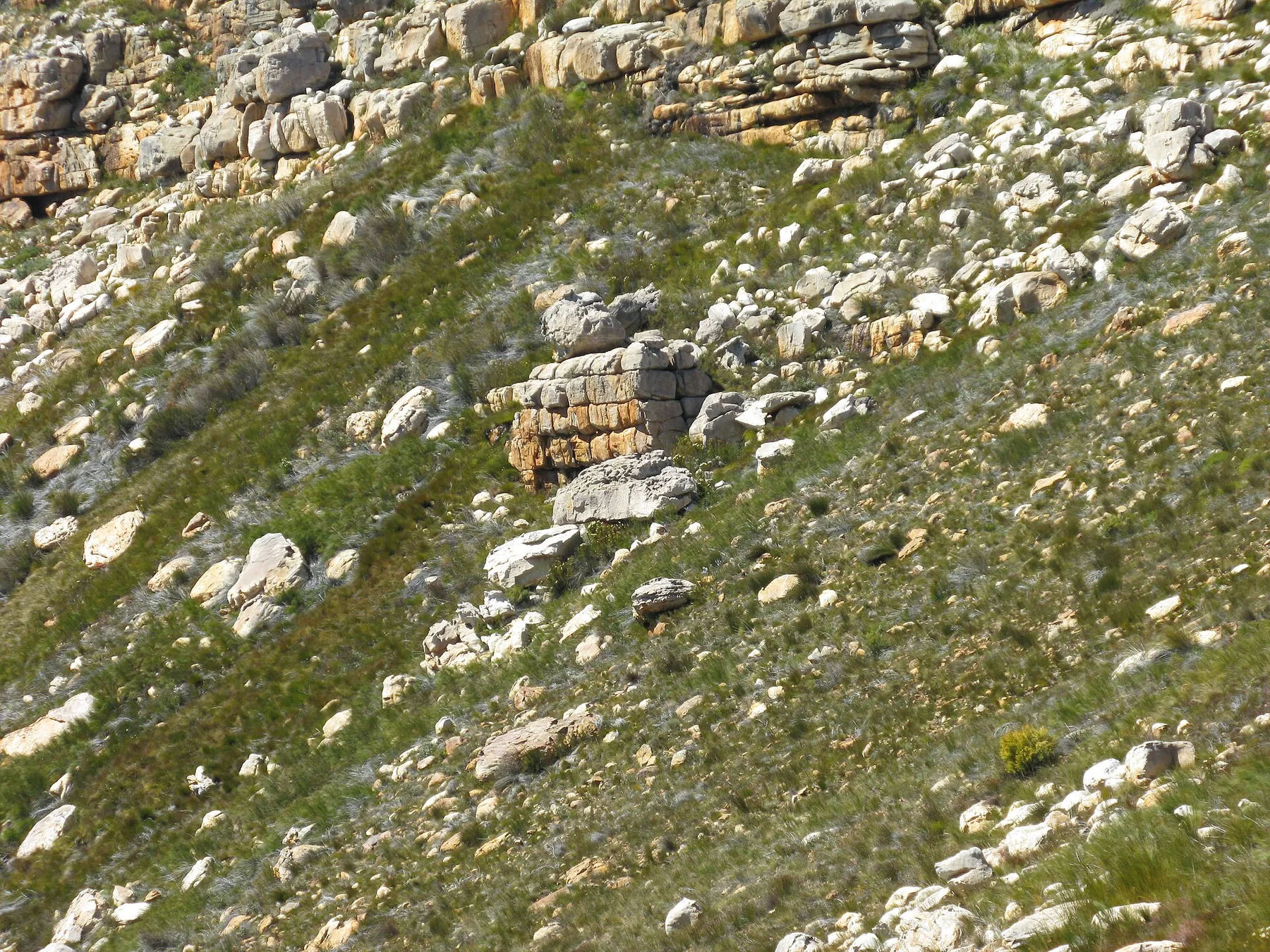
Sandstone arches, dry mountain valleys and rock art create a rugged landscape north of Cape Town.
Explore this place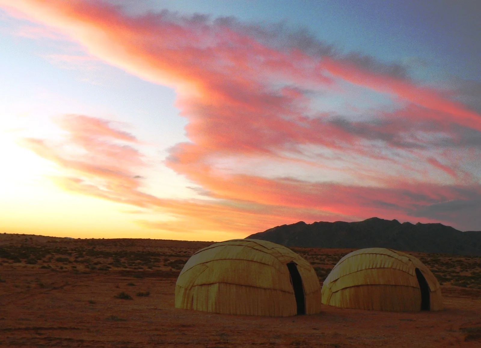
A mountainous desert of granite ridges, succulent biodiversity and Nama pastoral culture along the lower Orange River.
Explore this place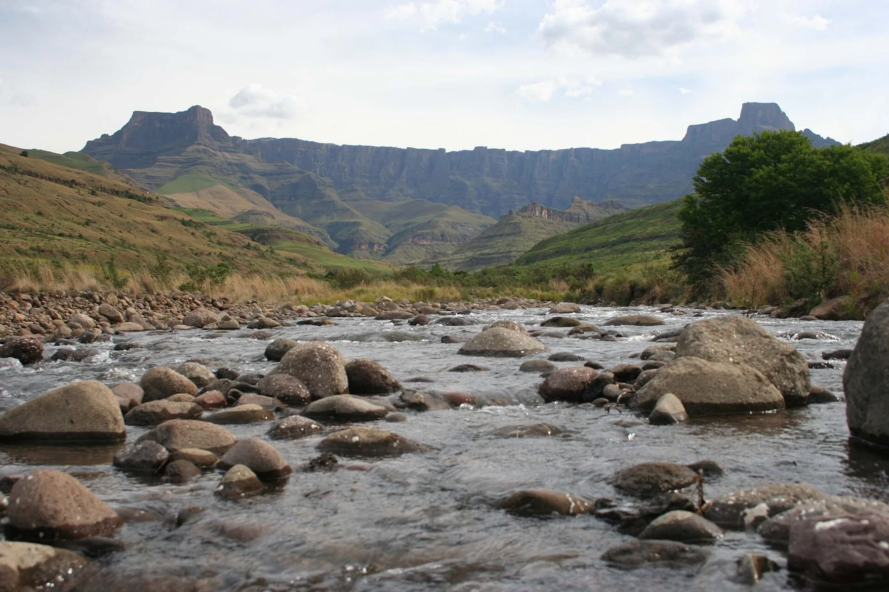
A high escarpment path uses two chain ladders to reach the Amphitheatre rim and Tugela Falls plateau.
Explore this place