Lake chain
Interconnected lakes make slow travel by canoe or small boat possible.
Check opening days or local access first, then connect the main site to the surrounding streets, paths or landscape instead of treating it as an isolated stop.
Clear lakes, pine forest and dispersed villages form a quiet inland landscape shaped by water routes and long settlement history.
Interconnected lakes make slow travel by canoe or small boat possible.
Check opening days or local access first, then connect the main site to the surrounding streets, paths or landscape instead of treating it as an isolated stop.
The details that make Aukstaitija different.
Interconnected lakes make slow travel by canoe or small boat possible.
Historic timber architecture gives the region a distinct human scale.
Pine woodland on glacial deposits separates water bodies and small farms.
Clear lakes, pine forest and dispersed villages form a quiet inland landscape shaped by water routes and long settlement history. Its character becomes clearer when geology, settlement and modern protection are considered together.
Aukstaitija occupies a lake-rich forest region in northeastern Lithuania. Clear lakes, pine forest and dispersed villages form a quiet inland landscape shaped by water routes and long settlement history. Aukstaitija links Lithuania’s protected lake district with nearby ethnographic regions and the wider forest belt extending toward Latvia and Belarus.
The strongest visual shorthand for Aukstaitija is the experience described as “Lake chain”. Behind it lies a more complex relationship between physical processes, settlement and the modern idea of the place as a destination. Interconnected lakes make slow travel by canoe or small boat possible.
Continue to practical planningThe first layer of Aukstaitija is geological and ecological rather than scenic. Narrow channels join dozens of lakes between sandy pine ridges, creating an environment that is navigated as much by water as by road.
Architecture at Aukstaitija responds to environment as much as style. “Lake chain” makes that relationship particularly clear. Interconnected lakes make slow travel by canoe or small boat possible.
Aukstaitija has been shaped as much by livelihoods and movement as by natural processes. Wooden villages, old churches, mills and small fields remain part of the landscape, with cultural traditions tied to forest, fishing and seasonal agriculture.
The role of “Paluse and wooden settlements” is especially revealing at Aukstaitija. Historic timber architecture gives the region a distinct human scale. In the history of Aukstaitija, it connects the wider regional context with a specific place that can still be examined today.
Formal protection changed how Aukstaitija was described and managed. At Aukstaitija, new boundaries, visitor rules and conservation priorities created a public identity that still has to coexist with settlements, customary use and economic pressures. At Aukstaitija, that transition remains visible in the contrast between older working features and visitor infrastructure.
At Aukstaitija, the significance of the feature “Lake chain” goes beyond its visual impact. Interconnected lakes make slow travel by canoe or small boat possible. At Aukstaitija, it gives a concrete reference point for reading change rather than merely collecting viewpoints.
At Aukstaitija, the feature “Paluse and wooden settlements” provides a precise clue to how the landscape works. Historic timber architecture gives the region a distinct human scale. At Aukstaitija, it gives a concrete reference point for reading change rather than merely collecting viewpoints.
At Aukstaitija, the feature “Forest ridges” provides a precise clue to how the landscape works. Pine woodland on glacial deposits separates water bodies and small farms. Within Aukstaitija, it is both an attraction and a record of the processes described above.
A single visit to Aukstaitija captures only one phase of its annual cycle. Summer is best for paddling and village routes; spring is quieter and bird-rich, while autumn brings colour and cooler conditions around the lakes.
For Aukstaitija, the main seasonal constraint is: the strongest planning window is May-Sep. For Aukstaitija, outside it, check weather, daylight, road or ferry schedules and seasonal closures before committing to a fixed route.
For Aukstaitija, one practical detail matters: opening days can be more limiting than travel time. For Aukstaitija, check the principal site first, then organise the wider route around it.
Placed within its wider geography, Aukstaitija is not an isolated exception. Aukstaitija links Lithuania’s protected lake district with nearby ethnographic regions and the wider forest belt extending toward Latvia and Belarus.
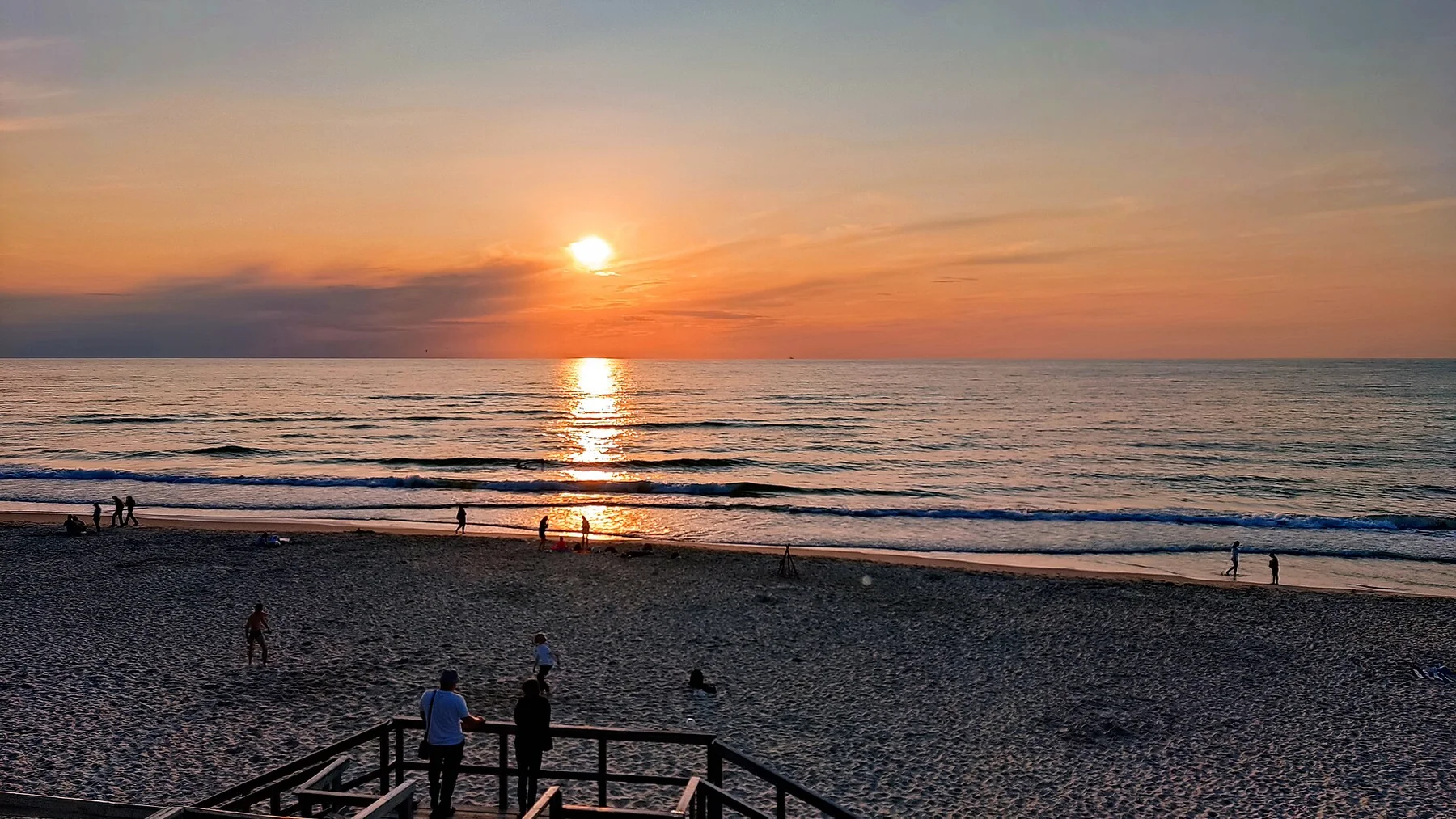
A long sand barrier of dunes, pine forest and lagoon villages separates the Baltic Sea from the Curonian Lagoon.
Explore this place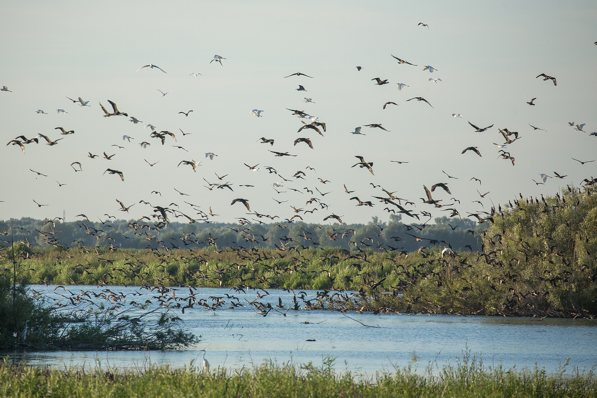
A low, water-threaded landscape of polders, reedbeds, fishing settlements and migrating birds where Lithuania's largest river meets the Curonian Lagoon.
Explore this place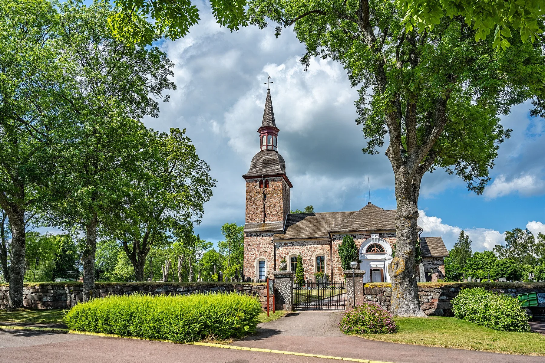
A low Baltic archipelago of red granite, pine forest, ferries and small maritime communities spread between Finland and Sweden.
Explore this place